Geoscience from Uganda, for East Africa
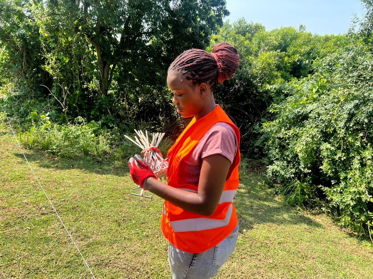
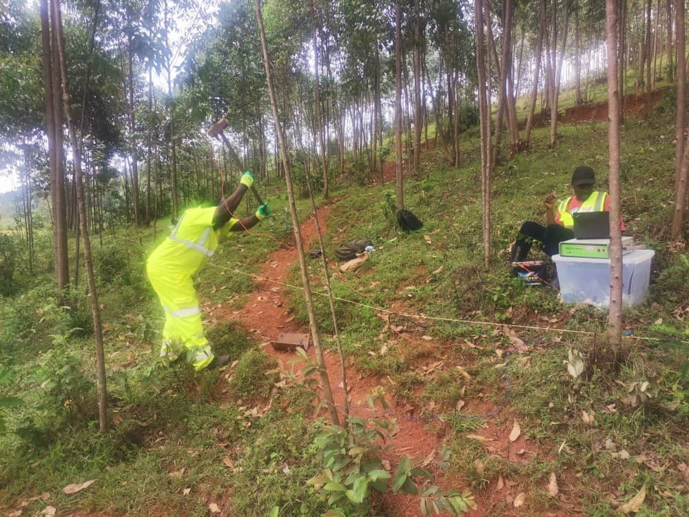
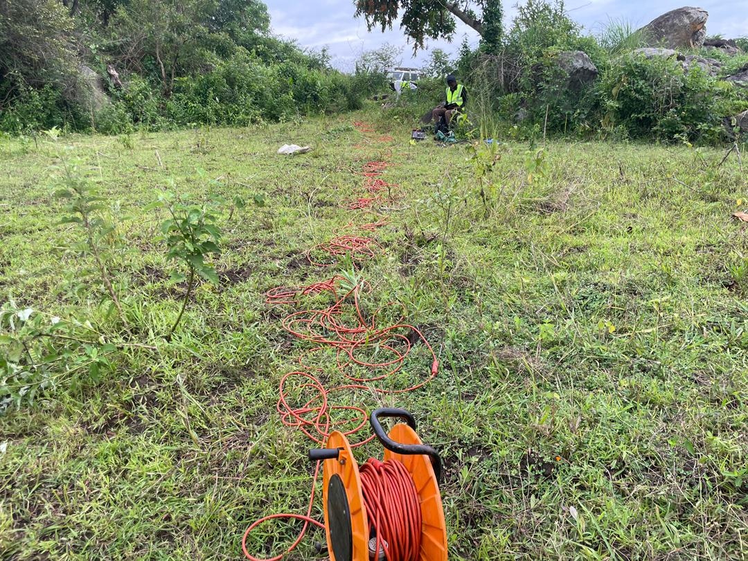
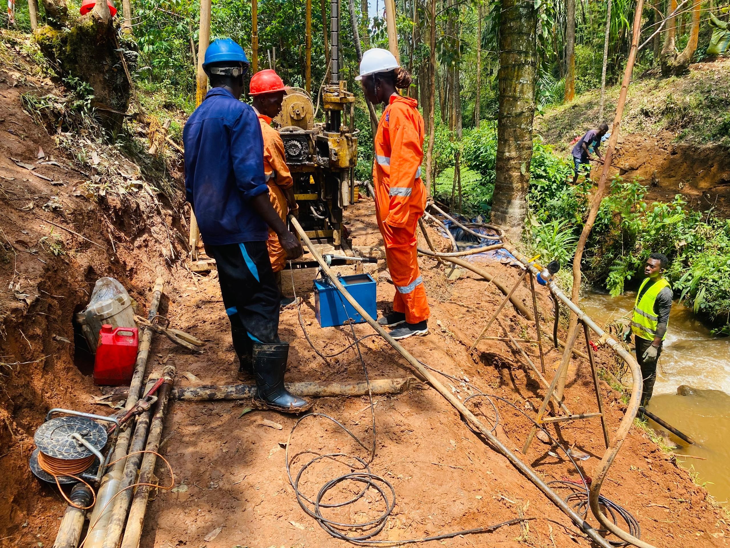
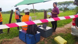
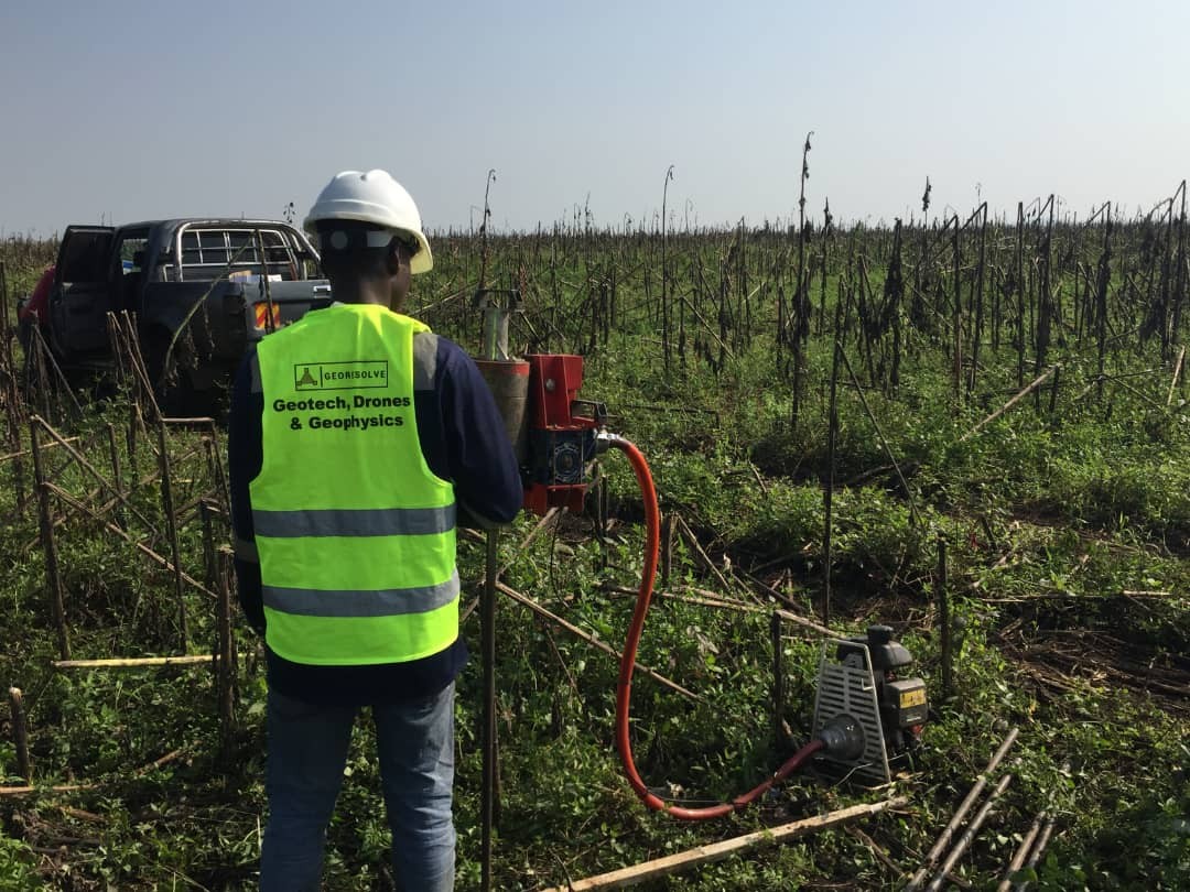
We are a Ugandan geoscience team of geologists, geophysicists and engineers. Since 2019 we have delivered seismic refraction, MASW, ERT, magnetics, drilling and geotechnical testing for dams, railways, buildings and mineral exploration across Uganda, Rwanda, Burundi and the wider East African region.
Every project ends in a written report a designer can build on — stratigraphy, geotechnical parameters, and a clear foundation or exploration recommendation. We work from our base in Kasangati, outside Kampala, and mobilise field crews across the region.
0
Projects Delivered
0
Years Experience
0
Countries
0
Active Clients