Conceptual seismic cutaway beneath Rusizi-inspired cultivated hills and a river valley

GeoResolve Africa · GeoUnlocked · September 2026

Seismic Wave
Techniques for
Karagwe-Ankole
Belt.

SRT + MASW. Two perspectives on complex ground.

Explore the field edition ↓
Conceptual illustration · not project data

GeoUnlocked · Field Edition No. 32 · September 2026

Two wave types.
One ground model.

This September, our field work centred on Rusizi, Rwanda. We combined seismic refraction tomography and multichannel analysis of surface waves to examine the ground from two complementary perspectives: P-wave velocity and shear stiffness.

01September project02Seismic techniquesVp + VsComplementary evidence

Field note · Rusizi, Rwanda

Reading the ground.
From the surface.

A combined SRT + MASW investigation in the varied terrain of the western branch of the East African Rift.
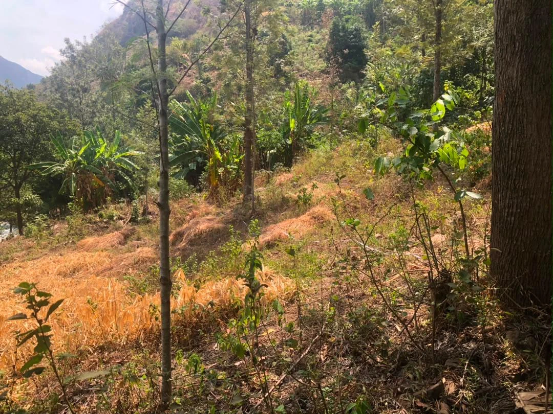
Survey cable and measuring tape laid along a vegetated slope
Rusizi, Rwanda · Seismic line across sloping ground
A velocity contrast is the beginning of an interpretation.

In weathered and fractured terrain, the question is more useful than a single “depth to rock” number: how does the material change, where does stiffness increase, and where is more investigation needed?

The Rusizi investigation brings together measurements that respond differently to the same ground. Comparing them helps distinguish a plausible geological interpretation from one that still needs borehole or field confirmation.
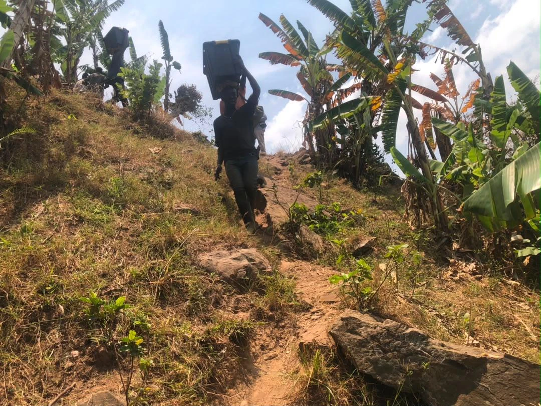
Field team member carrying equipment uphill
Field access · Moving equipment through the terrain
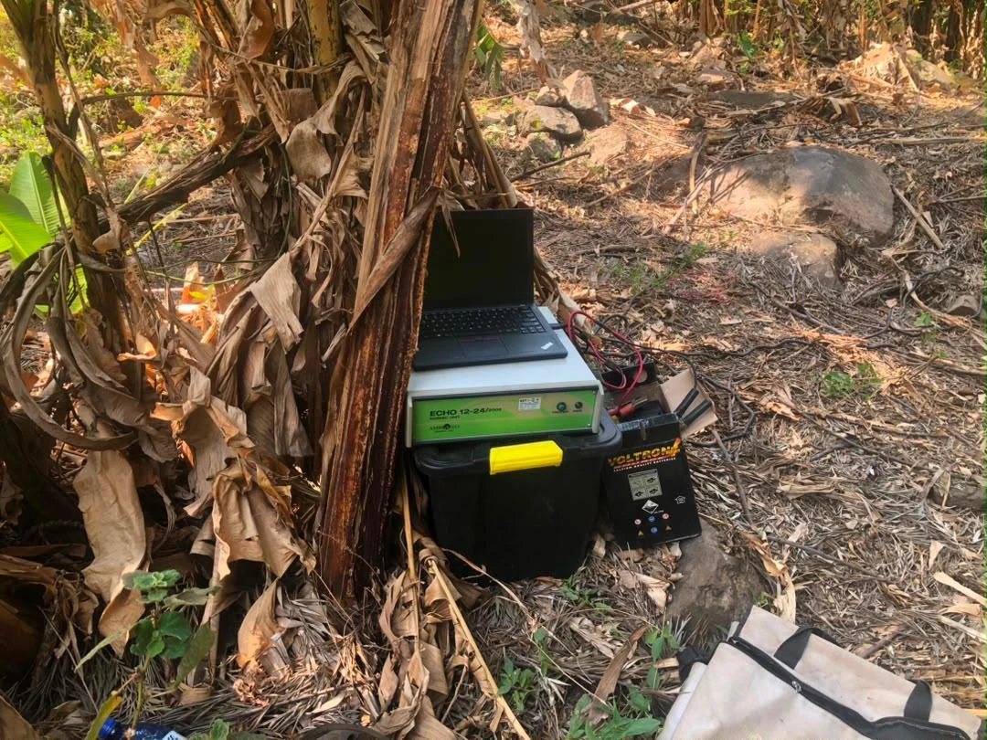
Seismic acquisition equipment set up beside vegetation
Acquisition · Seismic equipment in the field

Technical focus · SRT + MASW

Structure.
Stiffness.
Context.

SRT follows compressional first arrivals. MASW reads surface-wave dispersion. Together, they provide a better basis for asking what the ground can tell us.

How the methods complement each other
Conceptual SRT and MASW wave pathsCompressional ray paths penetrate a layered subsurface while surface waves travel along the surface. This schematic is not a measured survey or a depth model. SourceReceiver arrayWeathered coverFractured basement SRT · compressional pathsMASW · surface waves
Conceptual wave paths · exaggerated geometry · no project data, depth scale or measured interfaces

01 / SRT

Where does velocity change?

First arrivals constrain P-wave velocity (Vp) along a section. SRT helps trace changes in cover and faster material at depth, guiding the interpretation of weathered zones and possible rockhead.

02 / MASW

How does stiffness change?

Surface-wave dispersion constrains shear-wave velocity (Vs). This adds a measure of small-strain stiffness, helping assess whether a faster P-wave response is also supported by a stiffer ground skeleton.

Compare

Two responses. One location.

Compare Vp and Vs over compatible locations and depths. Agreement strengthens an interpretation; disagreement directs the next question.

Question

Fast does not always mean stiff.

Saturation can raise Vp without a comparable increase in shear stiffness. Vp/Vs helps interpretation, but cannot uniquely identify water, clay, fractures or weathering.

Confirm

Evidence with boundaries.

Ray coverage, usable wavelengths and inversion choices limit resolution. Geological observations and boreholes remain essential for confirming material and rock quality.

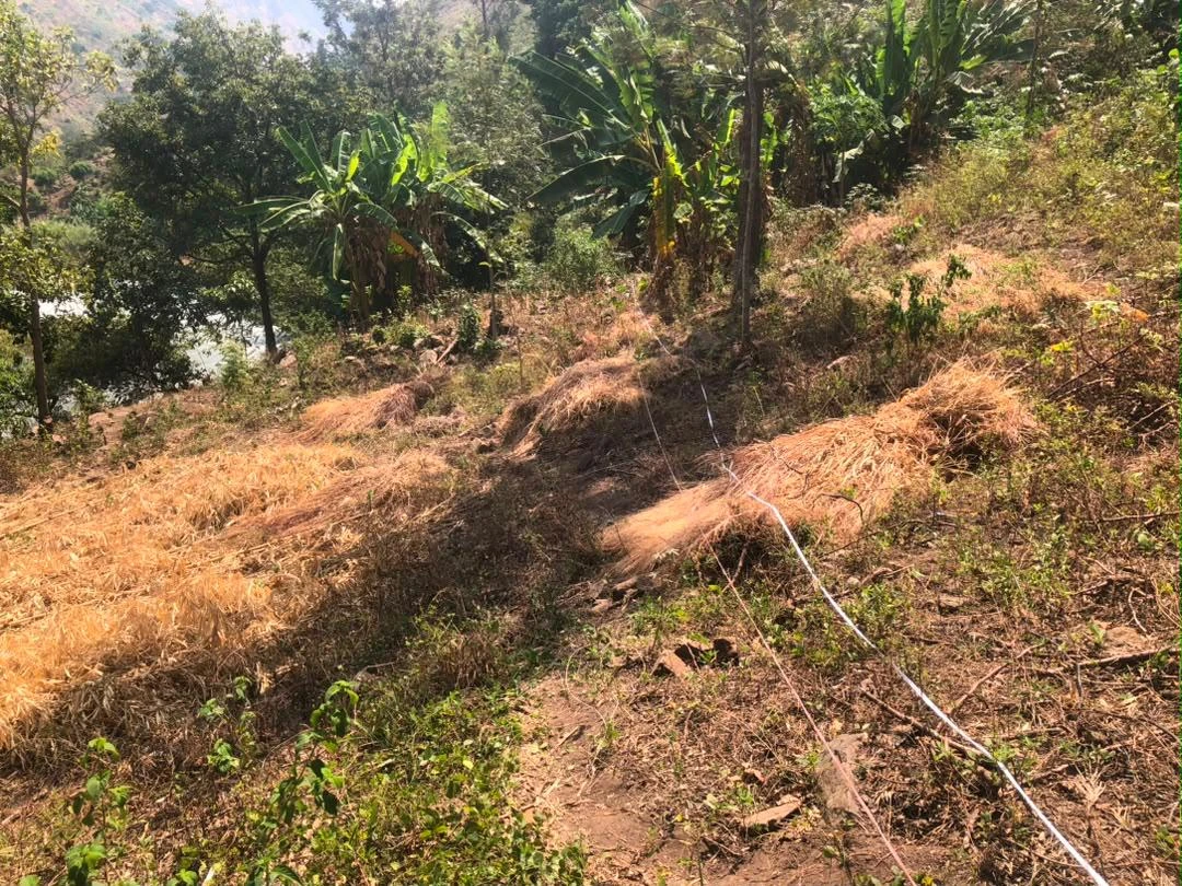
Vegetated hillside in the Rusizi survey area
Rusizi · Terrain and near-surface cover

Geological context · Karagwe-Ankole & the western rift

Old structures.
Variable weathering.
Changing ground.

The Karagwe-Ankole Belt includes metasedimentary rocks, metamorphic complexes and intrusions, with a long history of folding and deformation. Weathering and fractures add variability that a single velocity measurement cannot fully explain.

The younger East African Rift provides the regional tectonic setting. At Rusizi, the tentative geological drawings distinguish basalt, Precambrian basement quartzite and riverborne material. Regional context guides the investigation; site evidence determines the interpretation.

The GeoResolve field standard

Better evidence.
Focused decisions.

The combined model helps target boreholes, investigate changes in weathered cover and identify intervals needing closer examination. It supports engineering investigation without substituting for material testing.

  1. 01DesignMatch line geometry to terrain and the investigation question.
  2. 02AcquireRecord source positions, receivers and elevation control.
  3. 03VerifyReview first arrivals, dispersion and model coverage.
  4. 04CompareRead Vp and Vs alongside the geological evidence.
  5. 05ConfirmFocus follow-up where uncertainty affects the decision.
Technical context & further reading

Vs describes small-strain stiffness; with density, Gmax = density × Vs². It does not directly establish bearing capacity or rock-mass strength. First-arrival refraction may miss slower material beneath a faster layer; MASW resolution depends on wavelengths, aperture and mode selection.

Put better evidence in front of the next decision

Let's understand
the ground together.

Seismic refraction · MASW · geological interpretation · geotechnical investigation · survey design

Start a conversation