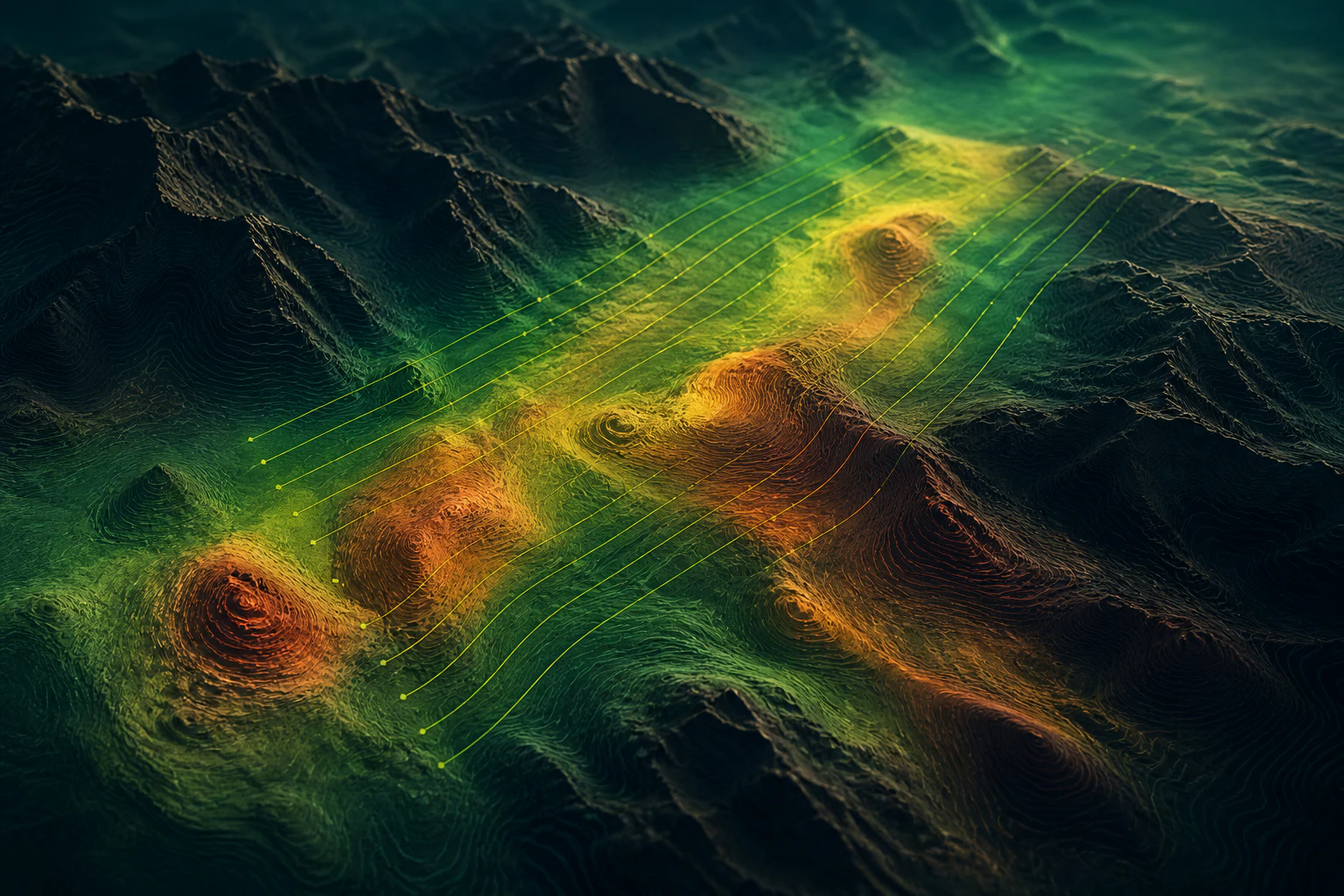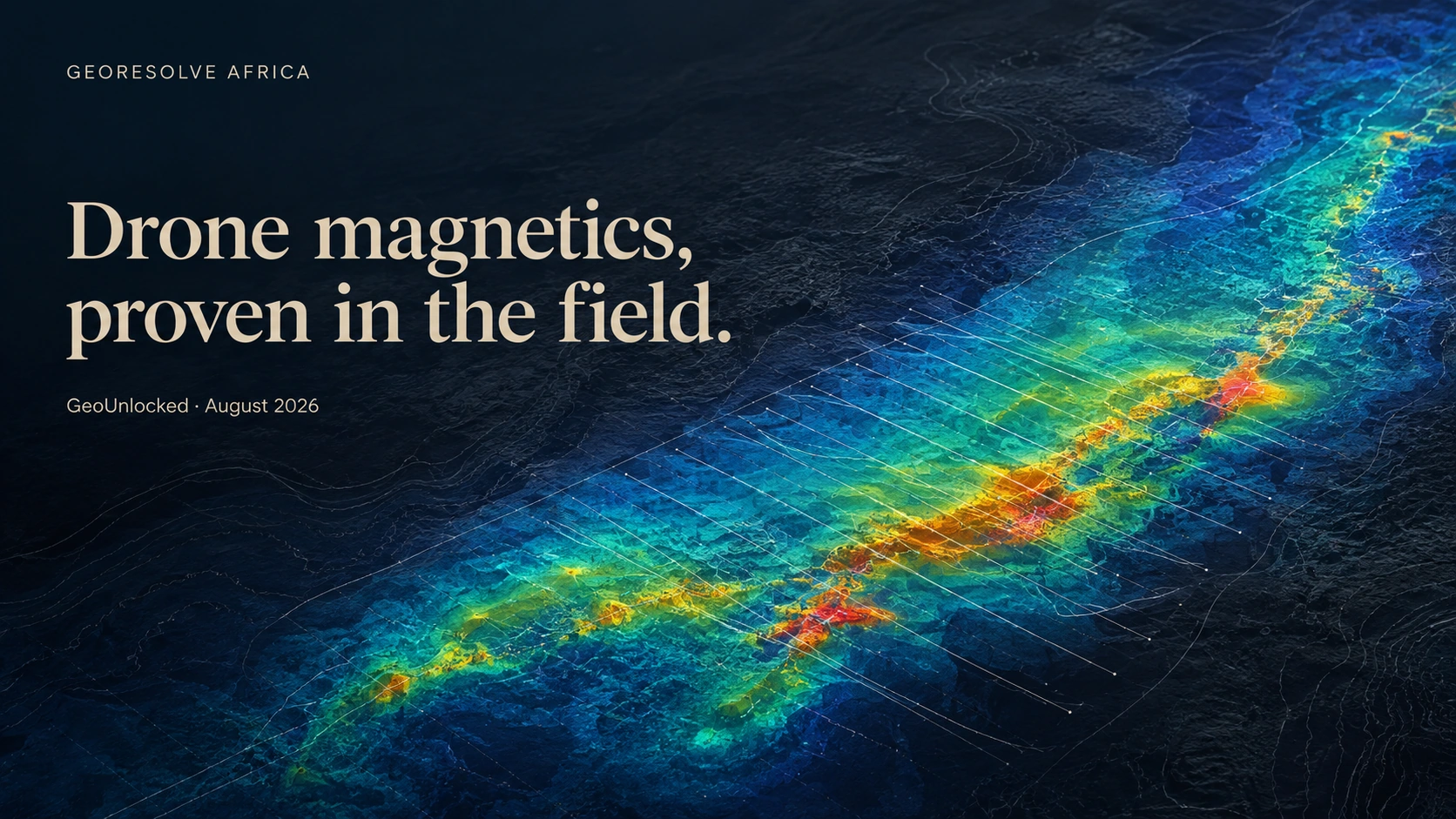
Abstract geoscience cover showing magnetic responses and drone survey lines

Drone magnetics, proven in the field

GeoUnlocked · Field Edition No. 31 · August 2026

Two terrains.
One evidence chain.

Drone magnetics becomes valuable when good mission design, disciplined field control and transparent interpretation work as one system. This field edition looks at two recent campaigns and the practical standards behind dependable exploration evidence.

02field campaigns 02contrasting terrains 01disciplined workflow

Field note 01 · Kabaya, Rwanda

Three days.
Built for control.

A compact highland campaign combining flight operations, positioning control and magnetic acquisition in demanding terrain.
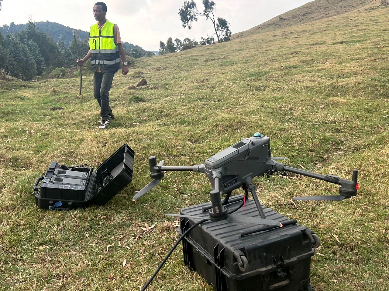
Drone magnetic survey equipment prepared on highland terrain in Kabaya
Field-ready aircraft and magnetic system · Kabaya
Fast mobilisation does not mean rushed evidence.

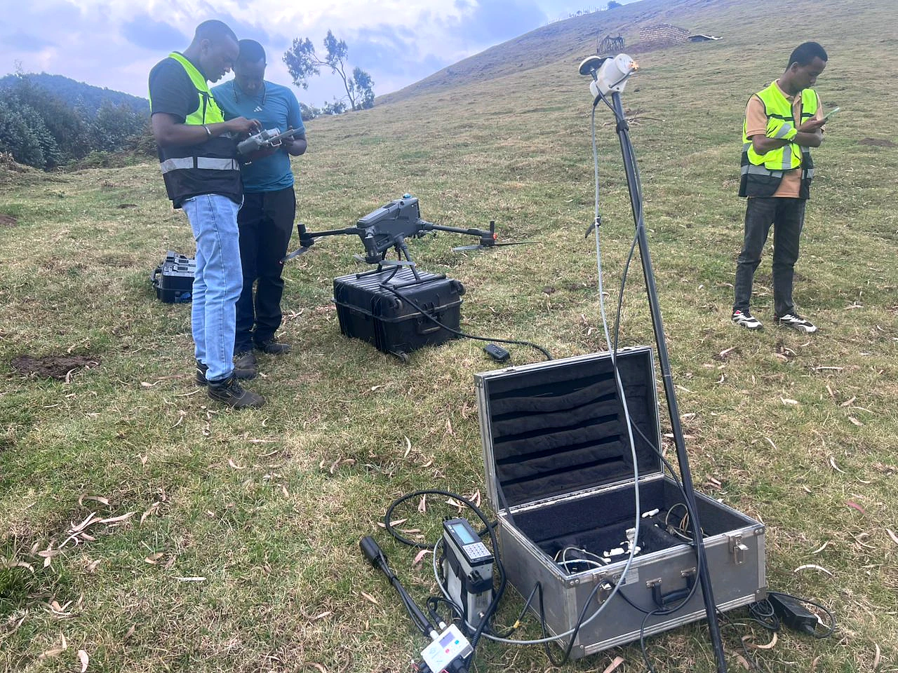
Kabaya's three-day drone magnetic campaign supported pegmatite exploration in Rwanda. The field photographs document the aircraft, sensor configuration and positioning equipment used on the highland deployment.

In uneven terrain, dependable results begin before take-off: payload configuration, sensor separation, launch discipline and a complete time-and-position record all influence what can later be interpreted with confidence.
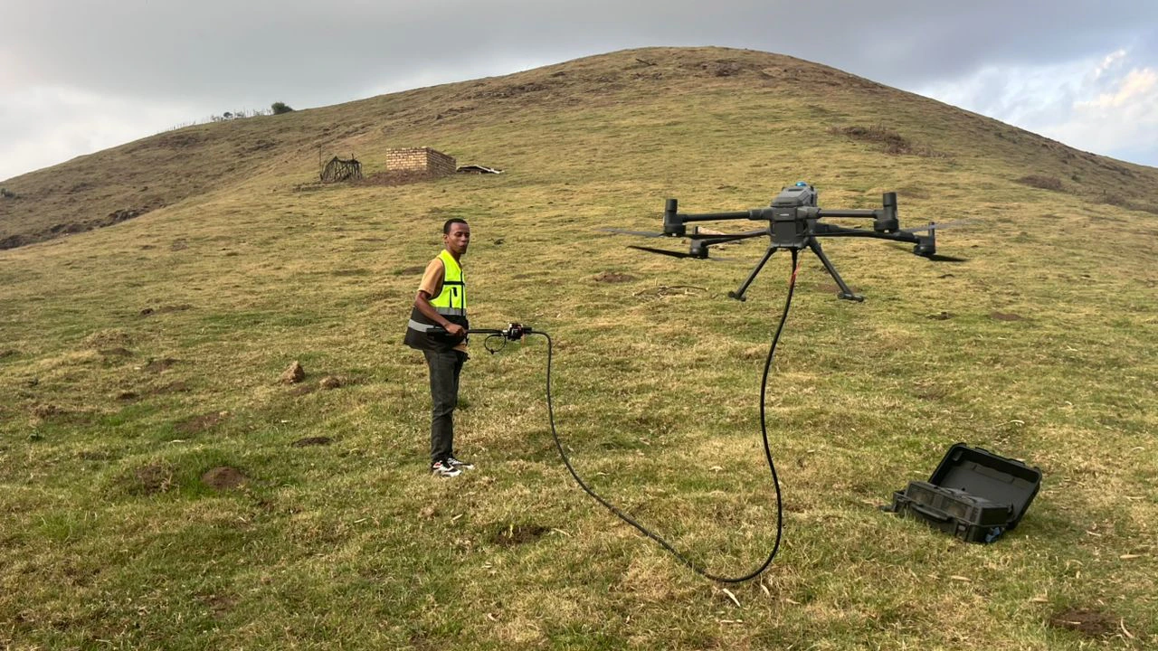
Drone and suspended magnetic sensor configured in the Kabaya field area
System configuration in the field
Field crew carrying out positioning and equipment checks at Kabaya
Positioning and equipment checks
Conceptual magnetic terrain visualization with generalized survey traces

Representative visualisation · not project data

From disciplined coverage to geological context.

A controlled acquisition record gives the processing team the foundation to separate meaningful spatial response from avoidable survey noise.
Field note 02 · Elgon Mountain ranges, Kween · Eastern Uganda

A survey is earned
line by line.

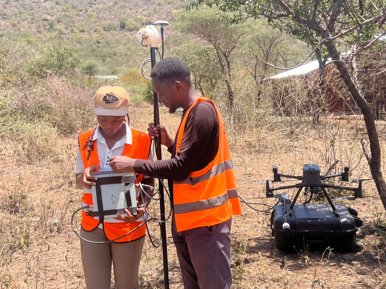
Field coordination, visible operational control and route-by-route review turn planned coverage into evidence that can support the next decision.

GeoResolve field crew preparing drone magnetic survey equipment in the Elgon Mountain ranges, Kween
Operational checks before acquisition · Elgon Mountain ranges, Kween
Generalised survey design
Generalized airborne magnetic survey pattern An anonymized, not-to-scale illustration of parallel survey lines crossing stylized terrain contours.
Illustrative pattern only · geometry exaggerated · no coordinates, permit boundary or client route data
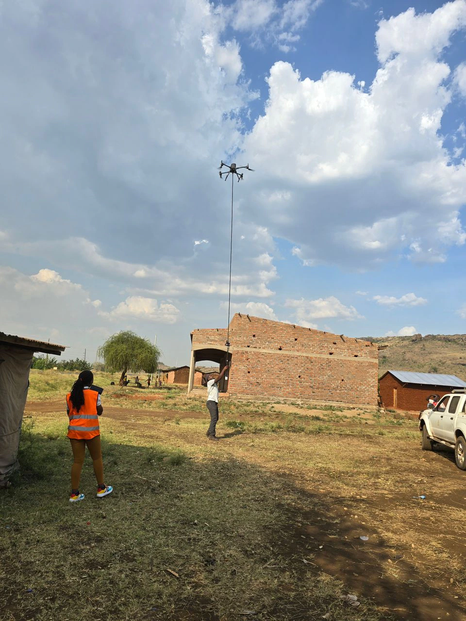
Drone carrying a suspended magnetic sensor in flight in the Elgon Mountain ranges, Kween
Sensor separation in flight
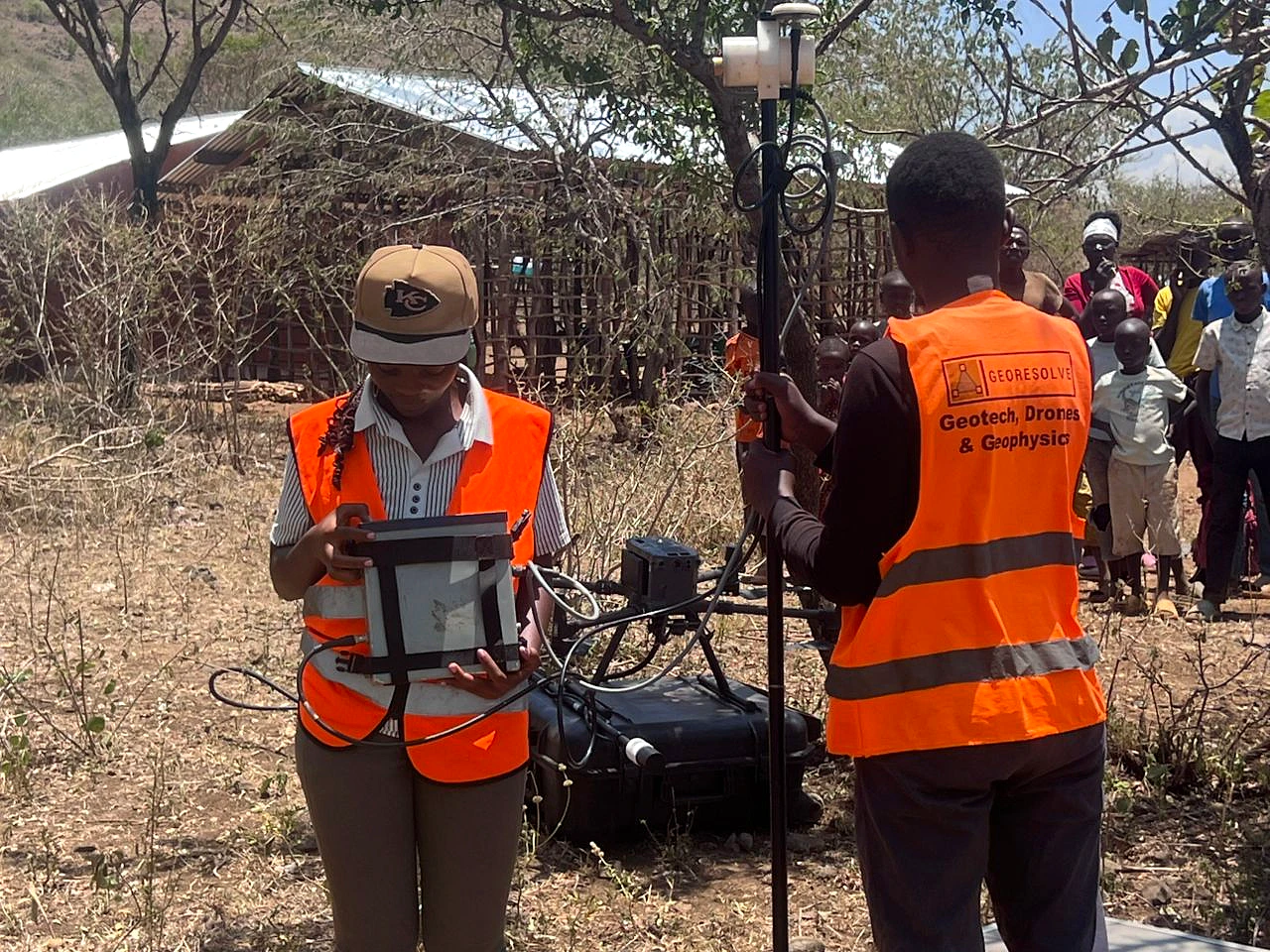
GeoResolve crew operating positioning and survey-control equipment in the Elgon Mountain ranges, Kween
Positioning and field control
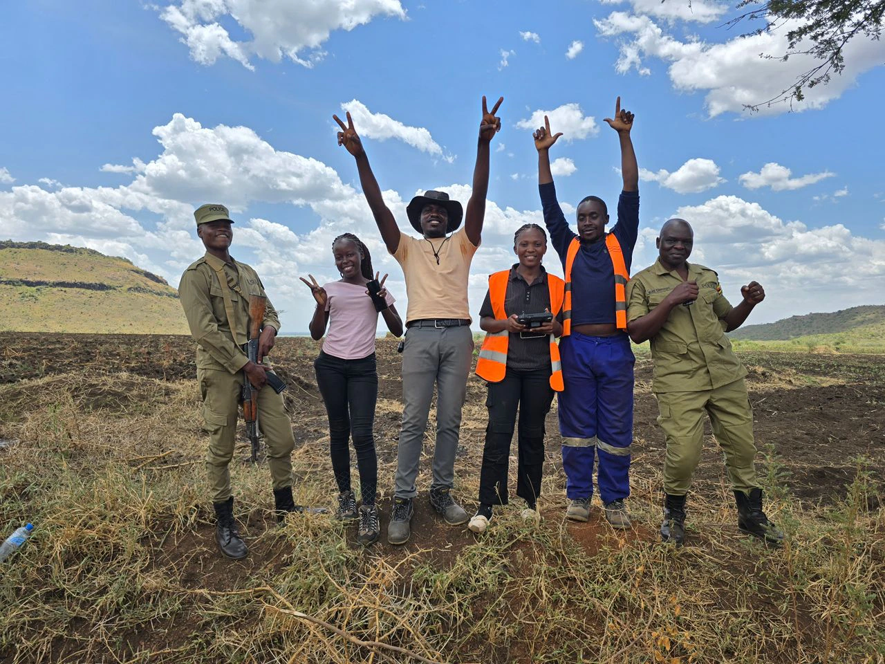
Field team together at the survey site in the Elgon Mountain ranges, Kween
Field coordination and local support

Measured

Coverage with context.

Field routes are reconciled with the intended survey pattern so omissions, turns and transit segments do not quietly become interpretation.

Checked

Quality made visible.

Positioning, equipment behaviour and repeat coverage are reviewed before any geological meaning is assigned.

Applied

Resolution with purpose.

Completion or focused infill is recommended where improved evidence can materially sharpen the next exploration decision.

Steep grass-covered ridges and a deep valley in Kabaya, photographed in warm evening light
Kabaya, Rwanda · Working across steep, changing terrain

Field challenge · Working with the terrain

Steep terrain.
Experienced crews.
Controlled flight.

Steep slopes and rapidly changing ground elevations made drone magnetic surveying demanding. Maintaining visual contact with the aircraft while managing its suspended sensor required careful planning and experienced pilots.

Our team addressed these challenges through experienced piloting, maintaining visual line of sight and carefully planning and checking terrain-following flight profiles. Together, these measures helped manage terrain clearance and support more consistent survey acquisition across difficult ground.

The GeoResolve field standard

Evidence before
interpretation.

The strongest deliverable is not a colourful map. It is a transparent chain connecting survey intent, measured position, field control, quality review and a proportionate recommendation.

  1. 01DesignMatch geometry to terrain and geological purpose.
  2. 02AcquireControl aircraft, sensor and field record.
  3. 03VerifyReconcile coverage and test consistency.
  4. 04InterpretSeparate response from uncertainty.
  5. 05DecideAdvance only where evidence supports it.

Put better evidence in front of the next decision

Let's understand
the ground together.

Drone magnetics · gravity · electrical methods · geological interpretation · survey design

Start a conversation

Trusted by Leading Organizations

GeoResolve partners with government agencies, consulting firms, and private sector clients across East Africa