Ground Penetrating Radar Uganda

High-resolution, non-destructive imaging of the shallow subsurface with Ground Penetrating Radar. Locate utilities, assess pavements, find voids, and map buried features across Uganda and East Africa — without lifting a shovel.

Request a Quote View Related Projects

What Is Ground Penetrating Radar?

Ground Penetrating Radar (GPR) is a non-destructive geophysical method that sends short pulses of high-frequency electromagnetic energy into the ground and records the echoes that bounce back from boundaries between materials with different electrical properties. Layered radargrams built from these echoes image the shallow subsurface in fine detail, revealing pipes, cables, voids, pavement structure, and buried objects in the top few metres.

A GPR survey in Uganda is the fastest way to map what lies beneath a road, slab, or compound before you dig. Unlike electromagnetic locators that only detect metallic utilities, GPR sees both metallic and non-metallic targets — plastic water pipes, concrete, and voids included — and shows their depth and geometry continuously along a line. In Uganda's lateritic and sandy soils, where conductivity is low, GPR produces particularly clear images.

Georesolve Africa operates GPR surveys across Uganda, Rwanda, Burundi, and the wider East African region for utility mapping, pavement assessment, void detection, archaeological screening, and concrete scanning on active construction and infrastructure sites.

How a GPR Survey Works

  1. Antenna selection. The antenna frequency is chosen for the target. High frequency (500–1000 MHz) for utilities and pavements at centimetre resolution; lower frequency (100–200 MHz) for deeper geological profiling.
  2. Data acquisition. The antenna is pushed or driven along survey lines, emitting a pulse roughly 50–100 times per second. Each trace is recorded with its position to build a continuous radargram.
  3. Signal processing. Time-zero correction, gain, background removal, and migration are applied so that hyperbolic reflections from point targets (e.g. a pipe) and planar boundaries (e.g. a pavement layer) become sharp and correctly positioned.
  4. Depth conversion. Radar travel time is converted to depth using the measured electromagnetic velocity of the ground (from a calibration trench, hyperbola fit, or common-midpoint survey).
  5. Interpretation & mapping. Reflections are interpreted as utilities, layers, voids, or features, then mapped in plan using surveyed line positions. Results are delivered in CAD/GIS for direct use in design and asset management.

Equipment

Georesolve operates a multi-frequency Ground Penetrating Radar system configured for utility, pavement, and subsurface investigations.

Component Specification
Antenna Multi-frequency GPR antenna array (e.g. 200, 400, 800 MHz) for shallow-to-intermediate depth imaging
Control unit Digital GPR console with high sample rate and real-time data display
Positioning Survey wheel / odometer and GNSS for continuous, georeferenced profiling
Survey platform Cart-mounted for pavements and compounds; vehicle-towed for roads and corridors
Measured parameter Two-way electromagnetic travel time versus depth
Derived products Radargrams, depth slices, utility/feature maps, pavement layer thicknesses

For utility detection where conductive targets dominate, Georesolve pairs GPR with electromagnetic (EM) locating to produce a complete subsurface utility map before excavation.

Applications

Utility Mapping

Locate metallic and non-metallic water, sewer, power, and telecom services before excavation.

Pavement Assessment

Measure asphalt and base-layer thickness and detect delamination for road and airfield management.

Void & Sinkhole Detection

Identify subsurface voids, washouts, and sinkhole precursors beneath roads and structures.

Concrete Scanning

Locate rebar, conduits, and post-tension cables, and measure cover depth, within slabs and walls.

Archaeological Screening

Non-invasive mapping of buried walls, pits, and features at heritage and development sites.

Buried Object Detection

Locate tanks, drums, and unknown metallic or non-metallic objects for environmental and clearance work.

Deliverables

Every GPR survey is delivered as a complete, interpretation-ready data package:

Case Study: Utility Mapping & Pavement Assessment, Kampala Industrial Estate
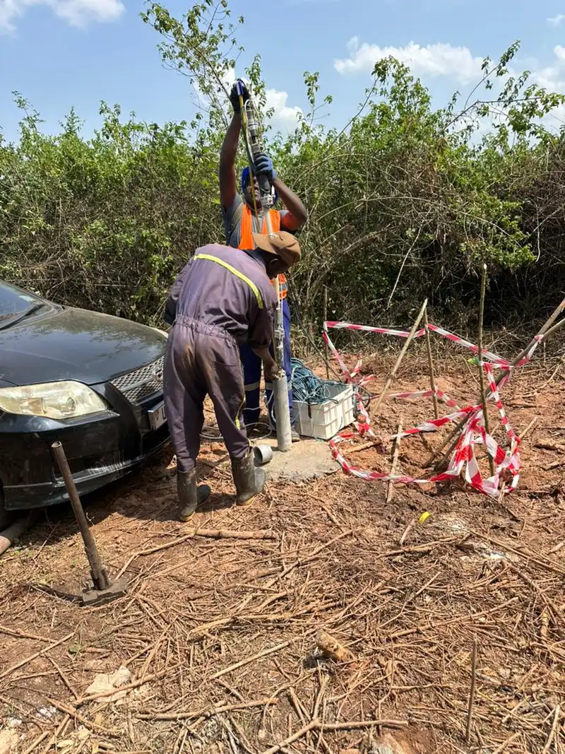
Ground penetrating radar survey for utility mapping and pavement assessment at an industrial site in Kampala

Non-Destructive Subsurface Survey for an Industrial Estate Upgrade — Kampala

Location: Kampala, Uganda Year: 2026 Client: Confidential industrial client

Georesolve deployed Ground Penetrating Radar to support a safe-site upgrade at an industrial estate in Kampala. The objective was to map the existing shallow subsurface — both metallic and non-metallic utilities — and to assess pavement structure ahead of planned excavation and resurfacing.

GPR cart surveys delivered continuous utility maps with depths and clear pavement-layer thicknesses across the compound. Combined with electromagnetic locating, the dataset gave the client a complete picture of what lay beneath the surface, allowing excavation to proceed without strikes and informing the pavement rehabilitation design.


View this and other projects in our portfolio →

Frequently Asked Questions

What is Ground Penetrating Radar (GPR)?

Ground Penetrating Radar (GPR) is a non-destructive geophysical method that sends short pulses of high-frequency electromagnetic energy into the ground and records the echoes from boundaries between materials with different electrical properties. The resulting radar profile images pipes, cables, voids, pavement layers, and buried objects in the top few metres without excavation.

What can GPR detect in Uganda?

GPR detects metallic and non-metallic utilities (water, sewer, power, telecom), pavement and slab thickness, subsurface voids and sinkholes, buried tanks and drums, geological layering, and anomalies within concrete such as rebar and conduits. In Uganda's lateritic and sandy soils GPR performs particularly well, giving clear images of the shallow subsurface.

How deep can GPR see?

Depth of investigation depends on antenna frequency and ground conductivity. High-frequency antennas (e.g. 500–1000 MHz) resolve centimetre-scale detail to 1–3 m — ideal for utilities and pavements. Lower-frequency antennas (e.g. 100–200 MHz) reach 5–10 m for geological profiling but with lower resolution. Georesolve selects the antenna to match your target depth and detail.

Is GPR better than electromagnetic utility locating?

They are complementary. Electromagnetic locators only detect metallic (conductive) utilities and cannot see plastic pipes or concrete. GPR images both metallic and non-metallic targets continuously along a line, showing depth and geometry. Georesolve often combines GPR with EM locating for a complete utility map before any excavation.

How fast is a GPR survey?

Very fast. A GPR cart is pushed or driven along the surface, collecting a continuous profile in real time. Road and pavement surveys can cover kilometres per day, and building slabs can be scanned room by room. Data is processed on site, so results are available almost immediately — ideal for live infrastructure and occupied facilities.

What deliverables do I receive from a GPR survey?

You receive processed radar depth slices and profile sections, interpreted utility and feature maps (often in CAD/GIS), pavement layer thicknesses, void and anomaly locations with depths, and a technical report. Deliverables are provided in formats compatible with QGIS, AutoCAD, and asset-management systems.

Related Services

Need to See What's Beneath the Surface?

Talk to Georesolve Africa about a Ground Penetrating Radar survey for utility mapping, pavement assessment, or void detection on your site in Uganda and East Africa.

Request a Quote

Trusted by Leading Organizations

GeoResolve partners with government agencies, consulting firms, and private sector clients across East Africa