Geophysical Surveys

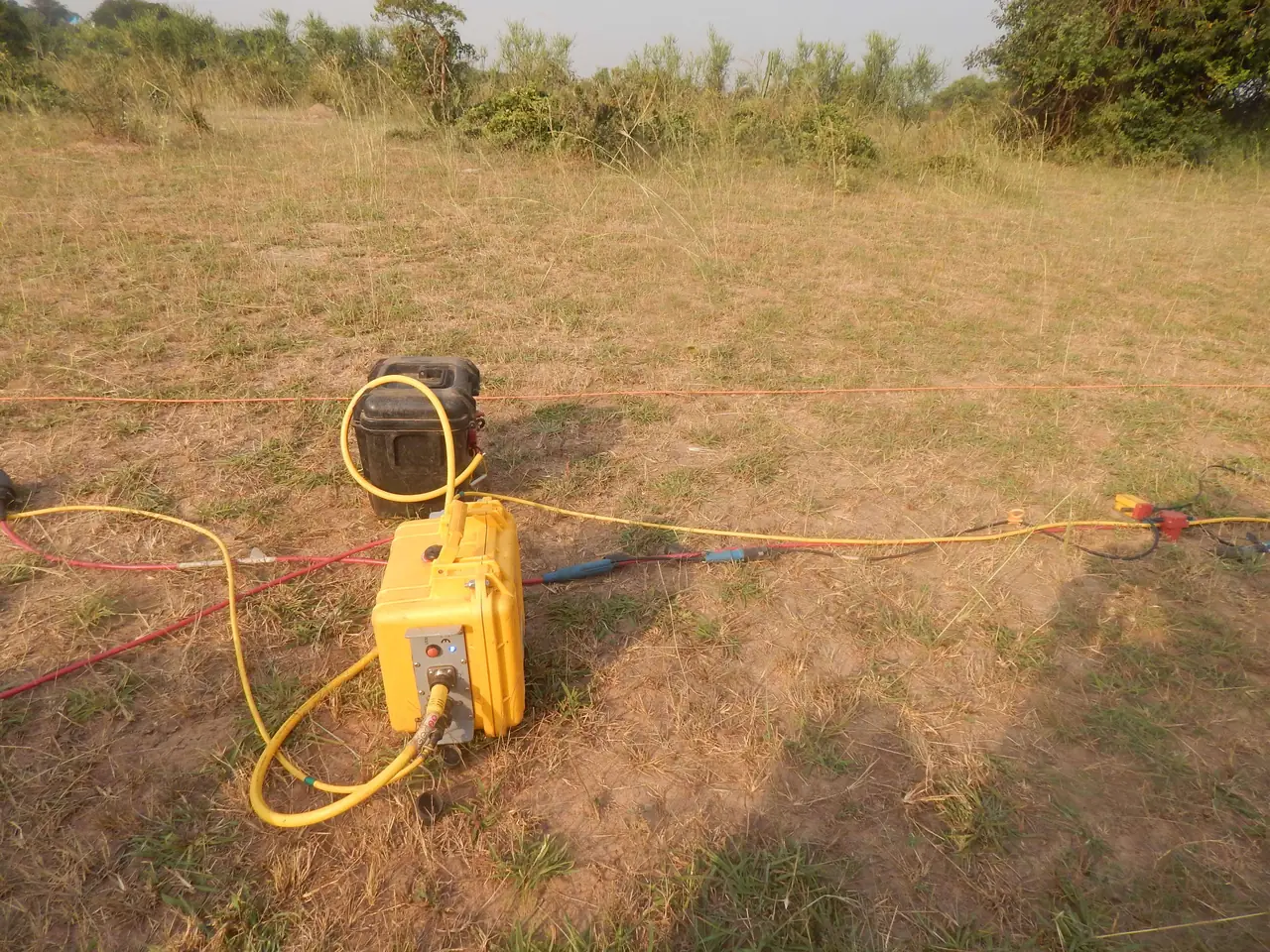
Our geophysical surveys employ advanced techniques to map subsurface structures, identify geological features, and characterize physical properties of earth materials without invasive procedures.

Using state-of-the-art equipment and methodologies, we provide detailed subsurface imaging for infrastructure planning, mineral exploration, and environmental assessment projects.

  • Seismic refraction and reflection surveys
  • Electrical resistivity tomography (ERT)
  • Groundwater exploration & borehole siting (ERT, VES)
  • Ground-penetrating radar (GPR)
  • Magnetic and gravity surveys
  • Electromagnetic induction methods
  • Multi-channel analysis of surface waves (MASW)
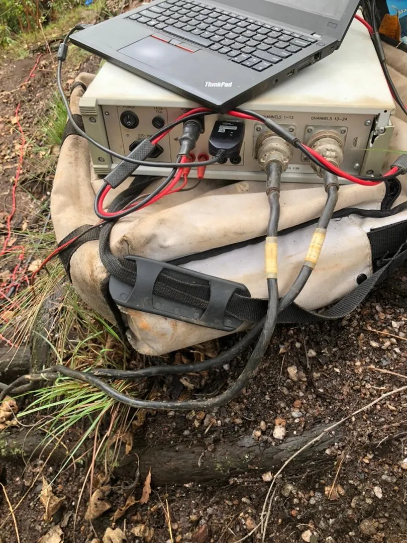
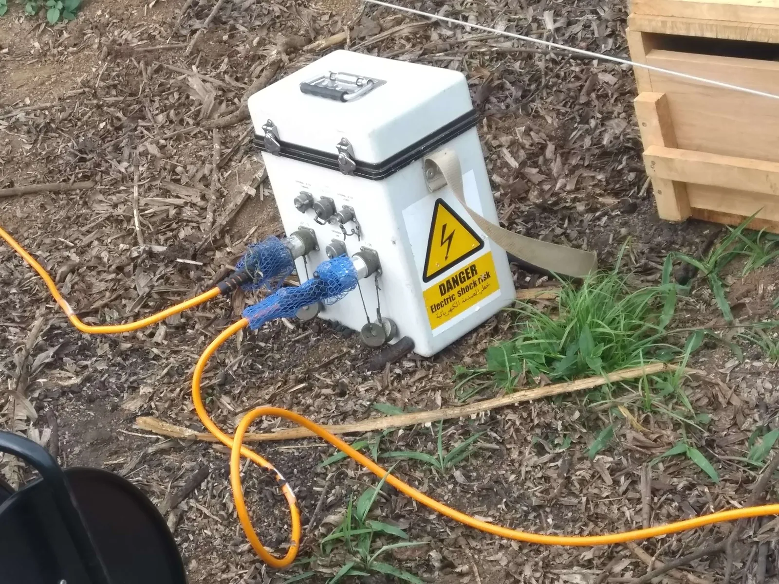
Geophysical survey equipment

Advanced Equipment

State-of-the-art geophysical instruments for precise subsurface characterization

Geotechnical Engineering

Comprehensive soil and rock mechanics analysis to support safe and economical design of foundations, slopes, and underground structures in diverse geological conditions.

Our geotechnical services ensure structural integrity and long-term stability for infrastructure projects across East Africa's varied terrain.

  • Soil classification and characterization
  • Foundation analysis and design
  • Slope stability assessment
  • Rock mechanics testing
  • Construction material evaluation
  • Settlement and bearing capacity analysis
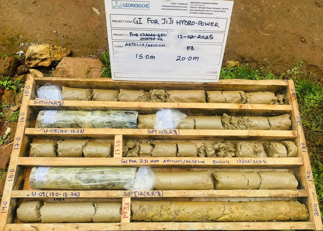
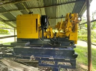
Geotechnical drilling rig

Professional Testing

Comprehensive laboratory and field testing for accurate soil and rock characterization

Mining & Exploration Services

Full-spectrum mineral exploration services from grassroots target generation through to resource definition drilling. We deploy ground and drone-based geophysics, systematic geological mapping, and structured drill programs to advance exploration projects across Uganda, Rwanda, Burundi, and DRC.

Our team brings practical experience on active exploration licenses and brownfield sites throughout the East African region, delivering technical data packages that support licensing applications, JORC-compliant reporting, and investment decisions.

Recent Exploration Case Studies:

  • DRC: Alluvial gold exploration and reserves estimation in Ituri — Gold detector data, geological mapping, geochemical sampling, SAR sensing (2026)
  • Rwanda — Rweru Sector: Integrated ground magnetics, deep ERT, and Induced Polarisation (IP) surveys for pegmatite-hosted cassiterite, coltan, and cobalt delineation (2026)
  • Rwanda — Gasabo: Deep Electrical Resistivity Tomography (ERT) survey for pegmatite body imaging and drill-target generation (2026)
  • Exploration geophysics: ground magnetics, induced polarization (IP), electromagnetics (EM), and gravity surveys
  • Drone magnetic surveys for rapid regional coverage and structural interpretation
  • Geological mapping and prospecting at regional to prospect scales
  • Pitting and trenching programs with systematic sampling and geological logging
  • RC chip and diamond core logging using G-Resolog digital borehole system
  • Sampling protocols and QAQC per industry standards (standards, blanks, duplicates)
  • GIS compilation, target generation, and drill-target prioritization
  • Technical support for exploration license applications in Uganda, Rwanda, Burundi, and DRC
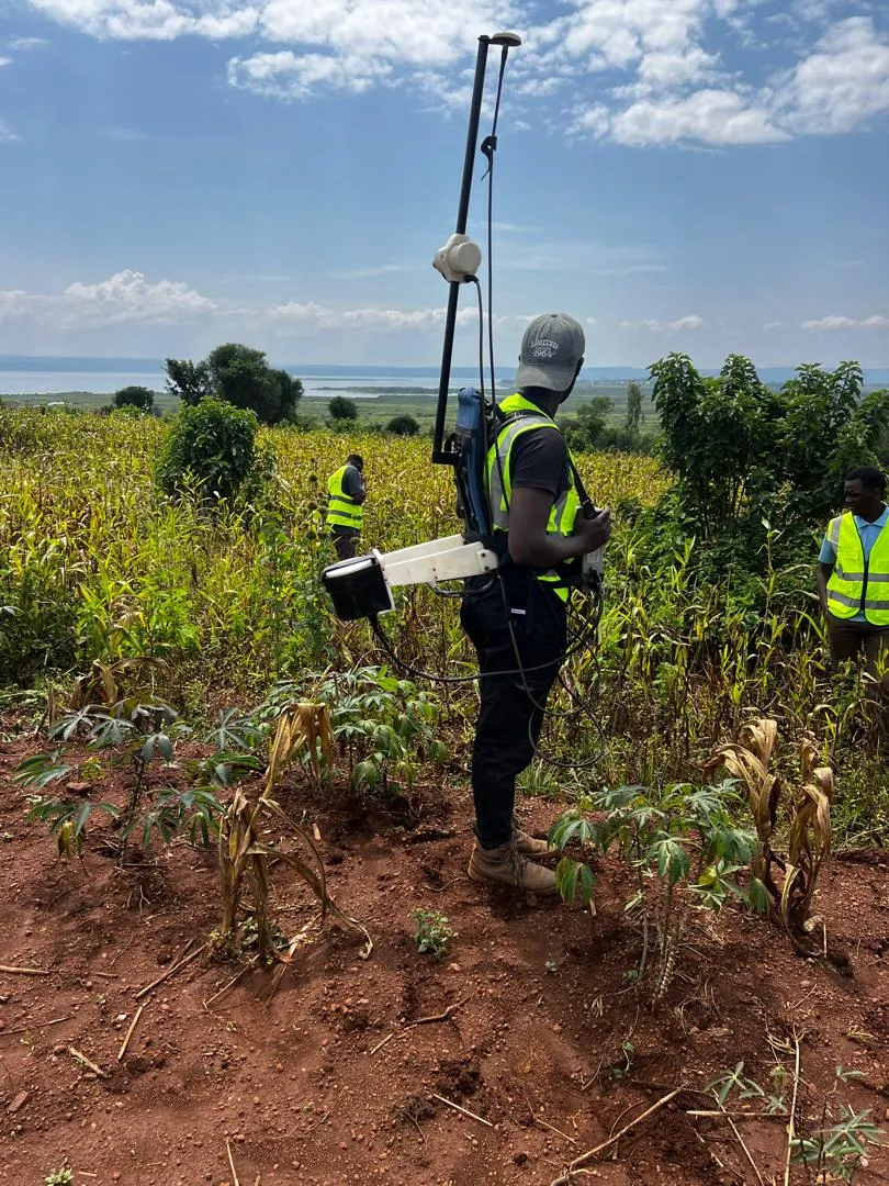
Mineral exploration fieldwork

Exploration Expertise

Ground and drone geophysics, mapping, drilling, and target generation across East Africa

Drilling Services

Professional drilling services for exploration, geotechnical investigation, and groundwater development using advanced drilling equipment and techniques.

Our drilling capabilities support a wide range of applications from mineral exploration to water well construction across diverse geological conditions.

  • Mineral exploration drilling
  • Geotechnical core drilling
  • Water well drilling and completion
  • Soil sampling and testing
  • Rock coring and analysis
  • Monitoring well installation
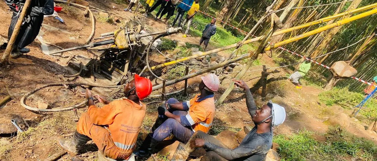
Drilling equipment

Advanced Drilling

Professional drilling services with modern equipment for various geological applications

Geospatial Services & Surveys

Advanced geospatial services combining modern drone technology, GIS data acquisition and analysis, topographic surveys, and cadastral mapping for comprehensive spatial solutions across East Africa.

Our geospatial team integrates cutting-edge technology with traditional surveying methods to deliver accurate, high-resolution spatial data for infrastructure, land management, and development projects.

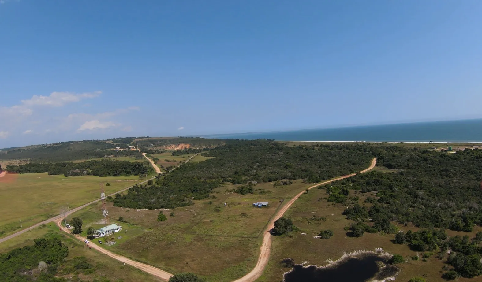
  • Drone surveys and aerial photogrammetry
  • GIS data acquisition and spatial analysis
  • Topographic surveys and mapping
  • Cadastral surveys and land boundary determination
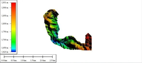
  • Digital elevation models (DEM) and terrain analysis
  • 3D modeling and volumetric calculations
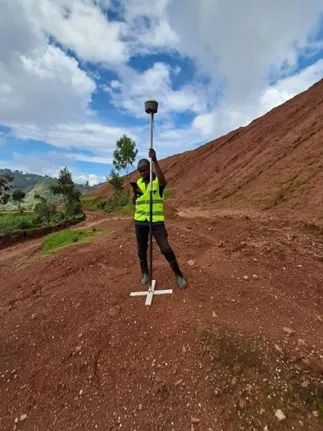
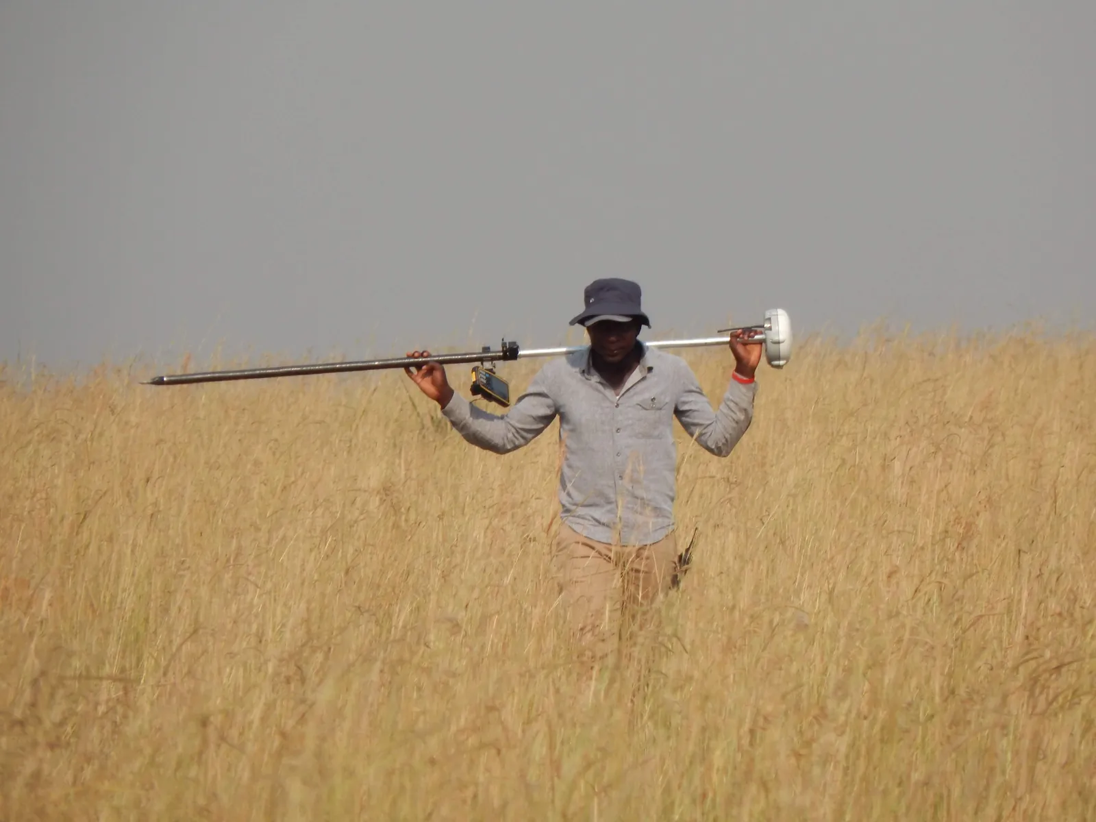
  • GNSS/GPS positioning and control surveys
  • As-built surveys for infrastructure projects
Drone and GIS surveys

Modern Geospatial Solutions

Drone surveys, GIS analysis, and precision topographic/cadastral mapping for East Africa

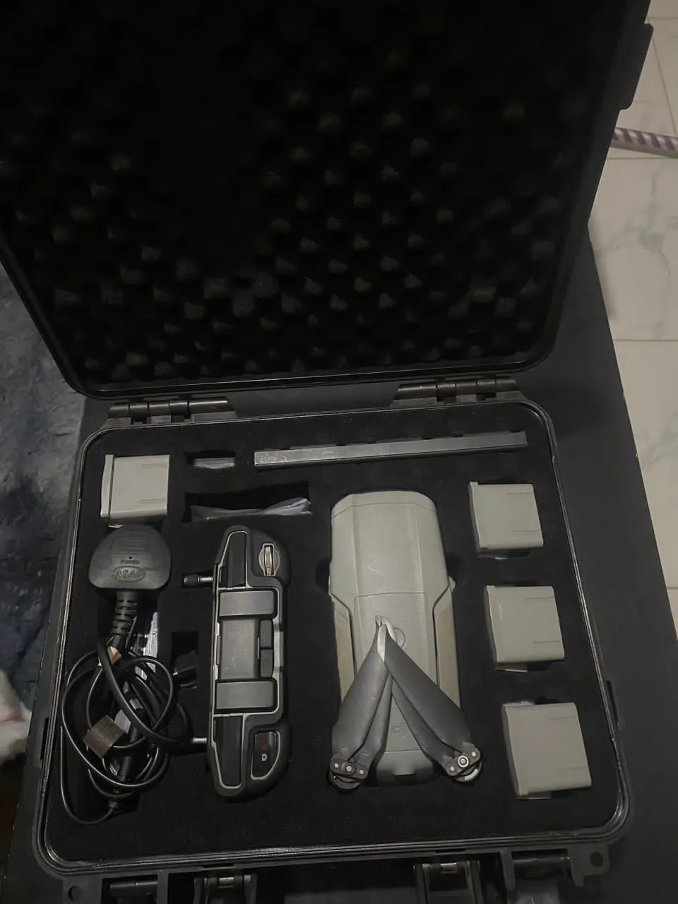
Drone aerial surveys

UAV/Drone Surveys

High-resolution aerial mapping and monitoring

Drone Survey Applications

Aerial Photogrammetry: High-resolution orthophotos and 3D models for site planning, construction monitoring, and environmental assessment.

LiDAR Integration: Precision terrain mapping penetrating vegetation for accurate topographic data in challenging environments.

Infrastructure Monitoring: Regular aerial surveys for dam safety, pipeline corridors, road networks, and large infrastructure projects.

Volumetric Analysis: Stockpile measurements, cut-and-fill calculations, and earthwork volume estimation for mining and construction.

GIS Data Acquisition & Analysis

Spatial Database Development: Custom GIS databases integrating geological, geotechnical, and environmental data for comprehensive project management.

Multi-Source Data Integration: Combining satellite imagery, field surveys, drone data, and existing datasets for holistic spatial analysis.

Geospatial Modeling: Terrain analysis, watershed delineation, visibility studies, and site suitability assessments using advanced GIS tools.

Web GIS Solutions: Interactive web-based mapping platforms for data sharing and stakeholder collaboration.

GIS data analysis

GIS & Spatial Analysis

Professional GIS services for East African projects

Topographic surveying

Topographic Surveys

Precision elevation and terrain mapping

Topographic & Cadastral Surveys

Precision Topographic Mapping: Detailed contour mapping, DTM/DEM generation for engineering design, route alignment, and drainage planning.

Cadastral Surveys: Land boundary surveys, title survey plans, subdivision layouts, and legal boundary determination for property transactions.

Control Network Establishment: GNSS base stations and benchmark networks for large-scale projects across Uganda, Rwanda, and Burundi.

Engineering Surveys: Setting-out surveys, as-built documentation, deformation monitoring, and construction quality control.

Method Applications

Our geoscience methods are applied across diverse sectors to solve complex geological challenges

🏗

Infrastructure Development

Foundation analysis, slope stability assessment, and subsurface investigation for roads, bridges, dams, and buildings.

Mining & Exploration

Mineral exploration, resource estimation, and mine planning through advanced geophysical and geological techniques.

💧

Water Resources

Groundwater exploration, well field development, and aquifer management for sustainable water supply.

Environmental Assessment

Site characterization, contamination assessment, and remediation planning for environmental protection.

🔥

Energy Projects

Geothermal exploration, hydrocarbon assessment, and renewable energy site characterization.

📊

Research & Development

Academic research, geological mapping, and scientific investigation for advancing geological knowledge.

Find the Right Method

Answer four questions and we will rank the geoscience methods best suited to your objective, depth, site conditions, and priorities.

1 What are you investigating?
2 Target depth of investigation?
30 m
3 Site access & conditions?
4 Budget priority?

Method Comparison Table

Honest, side-by-side comparison of depth range, resolution, cost, speed, deliverables, and limitations for every method we deploy.

Method Depth range (m) Resolution Cost Speed Best for Deliverables Honest limitations
Seismic Refraction 3-100 m 1.5 km/day Bedrock depth & rippability, Dam foundation investigation, Stratigraphic mapping 2D P-wave velocity profileDepth-to-bedrock contour mapRippability / excavatability assessment Cannot detect velocity inversions (a low-velocity layer masked beneath a faster layer is invisible) Requires good ground coupling and a spread of geophones (50-200 m layout) Cultural vibration (traffic, machinery) degrades first-arrival picks
MASW (Multi-channel Analysis of Surface Waves) 1-50 m 2 km/day Vs30 / site class (IBC/ASCE), Dam foundation investigation, Liquefaction screening 1D/2D shear-wave velocity (Vs) profileVs30 site classification per IBC/ASCELiquefaction susceptibility map Maximum reliable depth ~30-50 m with active-source MASW Resolution drops sharply below 1/3 of maximum depth Passive MASW extends depth but lowers near-surface resolution
Electrical Resistivity Tomography (2D ERT) 1-1000 m 1.2 km/day Groundwater mapping, Contamination / leachate plumes, Cavity detection in resistive rock 2D resistivity cross-section (inverted model)Depth to water table / aquifer geometryContaminant plume delineation Requires good electrode-to-ground contact (difficult on dry gravel, hardpan, or paved surfaces) Conductive clay overburden suppresses signal from deeper resistive targets Deep investigations need long layouts (depth ~1/6 of array length)
Vertical Electrical Sounding (VES) 5-500 m 5 km/day Borehole siting (point depth), Groundwater exploration at limited-access sites, Layer resistivity at a point 1D layer resistivity model at each soundingRecommended drilling depth for boreholesAquifer resistivity / yield correlation 1D point measurement — no lateral continuity between soundings unless densely spaced Layer equivalence: multiple layer models can fit the same curve Conductive overburden limits depth of investigation
Ground Penetrating Radar (GPR) 0.1-30 m 5 km/day Utility & pipe mapping, Concrete/bridge deck inspection, Shallow stratigraphy & archaeology High-resolution 2D/3D radar profileMapped utility/pipe positions & depthsConcrete cover and rebar mapping Signal is strongly attenuated in conductive (clayey, saline, waterlogged) soils — penetration may fall to <1 m Maximum reliable depth typically 15-30 m in resistive ground; far less in clay Antenna frequency trades depth for resolution (low freq = deep but coarse)
Magnetic Survey 1-300 m 8 km/day Mineral exploration (iron, massive sulphides), Structural / dyke mapping, Buried metal & UXO detection Magnetic anomaly map (total field / residual)Structural interpretation lineamentsTarget anomalies for follow-up drilling Strongly affected by cultural metal (fences, pipelines, reinforced concrete) in urban/industrial areas Non-unique: many source bodies can produce the same anomaly Depth estimation from magnetics alone is approximate without modelling
Gravity Survey 10-5000 m 3 km/day Basement / sedimentary basin geometry, Cavity & void detection (microgravity), Ore-body delineation (dense ore) Bouguer / residual gravity anomaly map2D/2.75D density models along profilesCavity probability map (microgravity) Requires very precise station levelling and terrain corrections — slow to acquire and process Small targets need dense station spacing and excellent elevation control Near-surface density variations can mask deeper targets
Electromagnetic (FDEM) 0.5-50 m 10 km/day Groundwater / salinity mapping, Contaminant / leachate plumes, Shallow ore & conductivity mapping Apparent conductivity / in-phase map2D conductivity cross-sectionSalinity / contaminant plume delineation Conductive overburden (clay/saline) limits depth of investigation for resistive targets below Sensitive to cultural metal and power-line interference in urban/industrial areas Frequency / coil spacing trades depth for resolution; deep targets (>50 m) need low-frequency TDEM instead
Geotechnical Drilling (ground truth) 1-200 m 0.3 km/day Ground-truth calibration for geophysics, SPT & UDS sampling for design parameters, Borehole lithology Borehole logs (lithology, SPT, recovery, RQD)Index & engineering properties from lab testingGeotechnical design parameters (bearing capacity, settlement) Point data only — interpolation between boreholes is uncertain without geophysics High cost per metre and slow mobilisation; access can be difficult on steep or soft ground Holes must be backfilled / sealed; environmental permitting may apply

Equipment & Technology

Advanced instrumentation and equipment for precise geological investigation

Seismic survey equipment

Seismic Instruments

Multi-channel seismographs, geophones, and energy sources for refraction and reflection surveys

Electrical survey equipment

Electrical Systems

Multi-electrode resistivity meters and data acquisition systems for ERT surveys

Drilling equipment

Drilling Rigs

Versatile drilling systems for geotechnical and exploration applications

Field mapping equipment

Mapping Tools

GPS systems, total stations, and digital mapping equipment for precise geological surveys

Trusted by Leading Organizations

GeoResolve partners with government agencies, consulting firms, and private sector clients across East Africa