Between June and August 2025, Georesolve completed the geoscience investigation for the Arua Water Dam project in north-western Uganda, working alongside Fichtner GmbH & Co. KG and Tectoni Africa Ltd. The programme paired regional-scale geological mapping with targeted seismic refraction surveying — a combination that is often talked about but, in our experience, rarely executed well. This is what we learned.
The project
The Arua dam will impound a water-supply reservoir for Arua City and surrounding districts. The dam axis sits in a gently dissected landscape underlain by Precambrian metasediments and granitoid gneisses, with a variable weathering profile that is the single biggest geotechnical uncertainty at feasibility stage.
Two scales, one model
The investigation ran at two scales deliberately:
- Regional: 5.5 km² of geological mapping. Walked at 1:5,000, this mapped lithology, structural lineaments, weathering grade, drainage, and existing springs across the entire reservoir and dam-axis influence area. The output is a geological map that lets the design team see where the dam sits in the structural framework — not just under the axis.
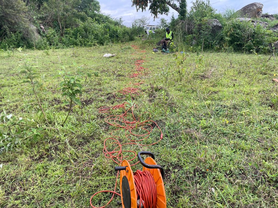
- Local: 1.5 km of seismic refraction. Along the proposed axis and abutments, we ran P-wave refraction profiling to convert the mapped weathering grades into a depth-to-competent-rock model. Vp is a direct proxy for rock mass quality: < 1,500 m/s is saprolite, 1,500–2,500 m/s is moderately weathered, and > 2,500 m/s is fresh rock suitable for a foundation.
Why both are needed
Mapping without geophysics gives you a geological picture but no depths. Geophysics without mapping gives you depths but no context — a refraction line through an unmapped shear zone will return a velocity model that looks like deep weathering when it is actually structural. At Arua, the mapping identified a set of NE-trending lineaments crossing the right abutment; the refraction profiles then confirmed those lineaments corresponded to a deepened weathering trough, which moved the preferred axis 40 m upstream.
The deliverable
The combined output is an interpreted foundation profile along the dam axis: bedrock topography, weathering zonation, and flagged structural features — tied back to the surface geology. That is what the geotechnical designer needs to scope the drilling programme and the excavation envelope.
FAQ
Q: Why seismic refraction rather than ERT for a dam foundation?
A: Refraction gives P-wave velocity, which correlates directly with rock-mass quality and rippability — the parameters a dam engineer asks for. ERT gives resistivity, which is excellent for groundwater and clay but a weaker proxy for rock strength. For foundation characterisation, refraction is usually the first-choice method.
Q: How much mapping is enough for a feasibility-stage dam study?
A: Enough to cover the dam axis, both abutments, the reservoir rim, and the immediate upstream catchment — typically 1–5 km² depending on dam size. The point is to see the dam in its structural context, not just the footprint.