We get this question every week. "How much will the geotechnical investigation cost?" — usually asked by a project owner or structural engineer who needs a number for a feasibility budget before the scope is even defined. This is our honest 2026 answer, based on the programmes we have actually delivered across Uganda, Rwanda and Burundi in the last twelve months.
The honest first answer: it depends on what you are building
A geotechnical investigation is not a single product with a price tag. It is a programme scoped to the structure, the ground, and the code of practice the designer is working to. A single-storey warehouse on stiff clay in Kampala needs a different programme from a 20 m dam on weathered schist in Kabale. But because budgets have to be set early, here are the bracketed ranges we see in Uganda in 2026.
The four cost brackets
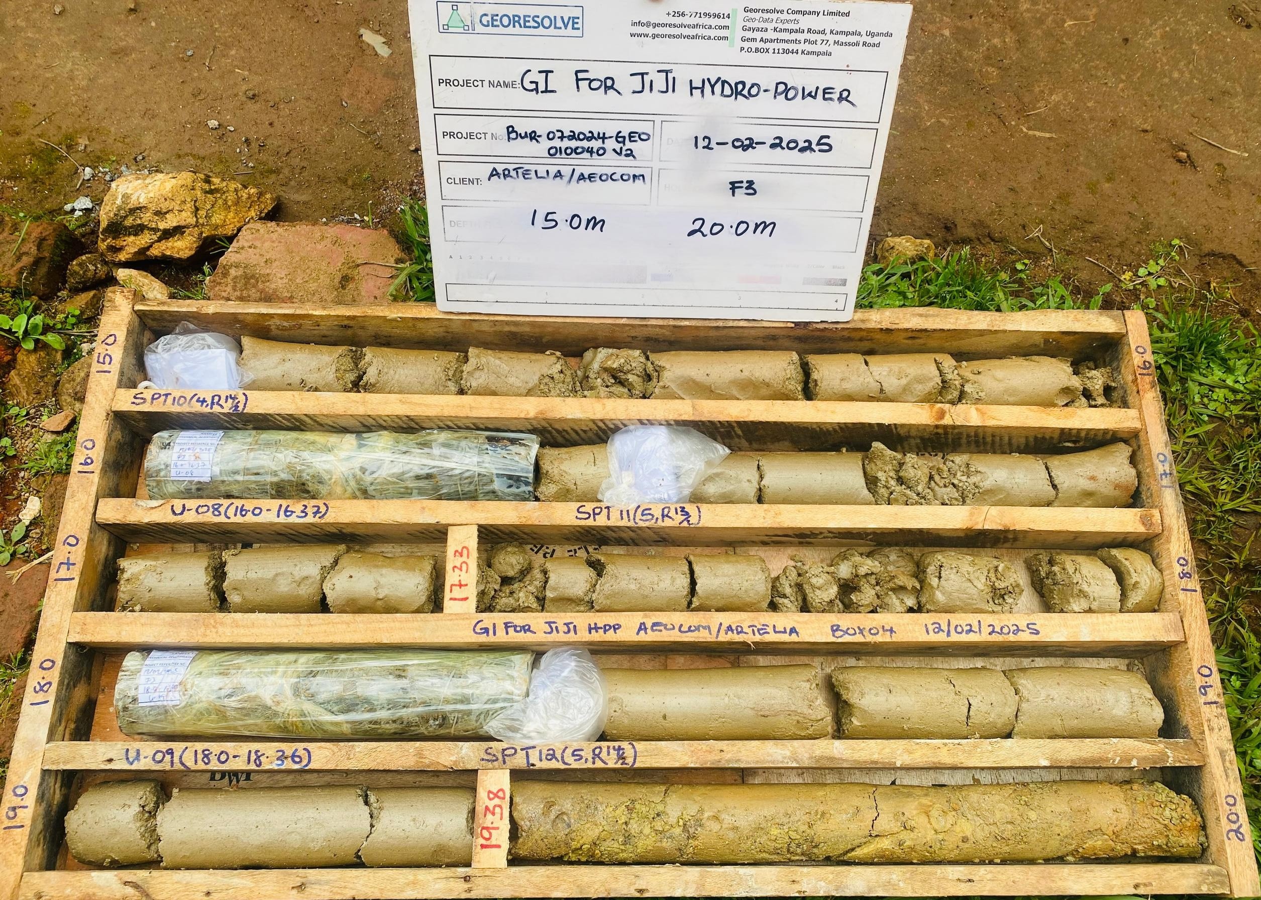
1. Single borehole + SPT + lab — small building or retaining wall. One rotary core borehole to 15 m, SPT at 1.5 m intervals, basic index testing (atterberg limits, grading, natural moisture), and a factual report. Typical range: UGX 4.5–7 million (USD 1,200–1,900) per hole, including mobilisation.
2. Multi-borehole building investigation — 2–4 storey structure. Three to five boreholes across the footprint, 15–25 m deep, SPT, UDS sampling, and a triaxial + oedometer lab suite sufficient for bearing-capacity and settlement analysis. With an interpretive report. Typical range: UGX 18–35 million (USD 4,800–9,400).
3. Geophysics + targeted drilling — dam, road, or slope. A combined programme: 1–2 km of seismic refraction or ERT profiling, plus 3–6 calibration boreholes with SPT and coring, and a full interpretive report tying the geophysical model to the geotechnical parameters. This is the programme we run for dam foundations and major road corridors. Typical range: UGX 45–120 million (USD 12,000–32,000) depending on line-kilometres and borehole depth.
4. Full mining / exploration site investigation. Geological mapping, ground or drone geophysics, pitting/trenching, and RC or diamond drilling with logging and assaying. Highly variable. From USD 25,000 for a grassroots target up to USD 250,000+ for a resource-definition phase.
What drives the cost up or down
Three variables explain most of the spread:
- Access. A site you can drive a truck onto is cheap. A site that needs 4 km of hand-carried equipment across a swamp is not. Mobilisation can be 20–30% of the total in remote areas.
- Depth. Drilling cost scales roughly linearly with metres. Geophysics does not — a 200 m refraction line costs much the same whether you are imaging to 10 m or 50 m, which is why we lead with geophysics and follow with targeted drilling.
- Lab testing scope. A factual report with index tests is one thing; a full shear-strength, consolidation, and dynamic (resonant column) suite for a seismic dam design is another. The lab bill alone can exceed the field bill on a dam project.
How to spend less without cutting corners
The single biggest lever is front-loading geophysics. A seismic refraction or ERT profile gives you a continuous 2D model of the subsurface for a fraction of the per-metre cost of drilling. You then drill only where the geophysics says the critical boundaries are — typically 2–3 calibration holes instead of 8–10 speculative ones. On most of our dam and road projects this halves the drilling bill while producing a better ground model than drilling alone ever would.
FAQ
Q: Can you give a fixed price without seeing the site?
A: We can give a budget bracket from a desk study and a satellite image, but a fixed price needs a site visit and a defined scope. Anyone offering a fixed price blind is either padding or cutting corners.
Q: Is geophysics worth it for a small building?
A: Usually not. For a single building on a known formation, one or two boreholes are sufficient. Geophysics earns its keep on linear projects (roads, pipelines), dams, and any site where the ground varies laterally.
Q: How long does a typical investigation take?
A: A single-borehole programme: 3–5 days on site, 2–3 weeks for the lab and report. A dam geophysics-plus-drilling programme: 2–4 weeks in the field, 4–6 weeks to the final interpretive report.