Geophysical Surveys for the Tororo–Amagoro Irrigation Scheme
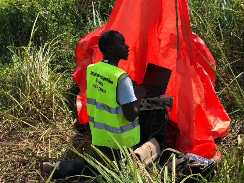
Comprehensive geophysical investigation combining Seismic Refraction Tomography, Multichannel Analysis of Surface Waves (MASW), and Site Seismic Intensity Analysis for the Tororo–Amagoro irrigation development project. Subsurface characterisation to support design of irrigation canals, intake structures and water distribution infrastructure for the Ministry of Water and Environment.
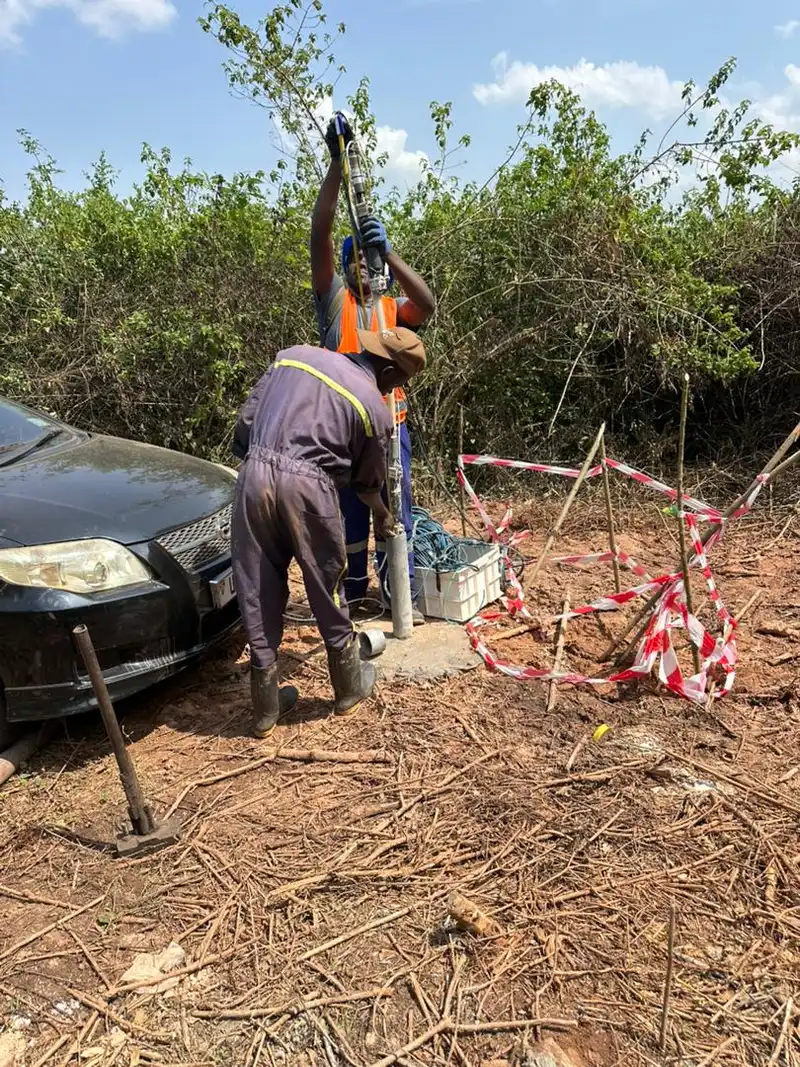
Geophysical Survey for Pre-feasibility Engineering Studies and Assessment for the Proposed Kampala Livestock Feeds Mill Plant
Downhole Seismic survey for the pre-feasibility engineering studies and site assessment for the proposed Kampala Livestock Feeds Mill plant in Luweero District. In-situ borehole seismic velocity profiling for dynamic soil property determination, seismic site classification, and foundation design for large-scale industrial processing infrastructure.
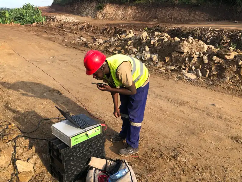
Geophysical Surveys for Matanda Irrigation Scheme
Seismic Refraction Tomography survey for the feasibility assessment and engineering design of the proposed Matanda Irrigation Scheme in Kanungu District. Subsurface velocity profiling to characterise overburden thickness, bedrock depth, and rippability for canal alignment and intake structure foundation design.
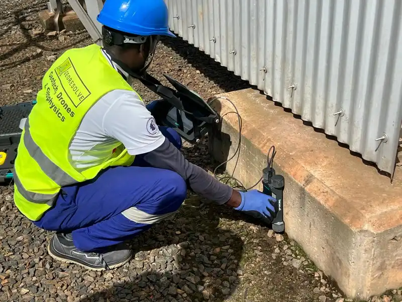
Geophysical Surveys for Technical Assessment of Existing Firewall Pillar Foundations at Nalubale Hydropower Station
High-Resolution Seismic Refraction Tomography (HRSRT) combined with Rebound Hammer testing and Reinforcement Locator surveys for technical integrity assessment of existing firewall pillar foundations at the Nalubale (Owen Falls) Hydropower Station. Non-destructive investigation of ageing concrete infrastructure for Uganda's flagship power generation asset.
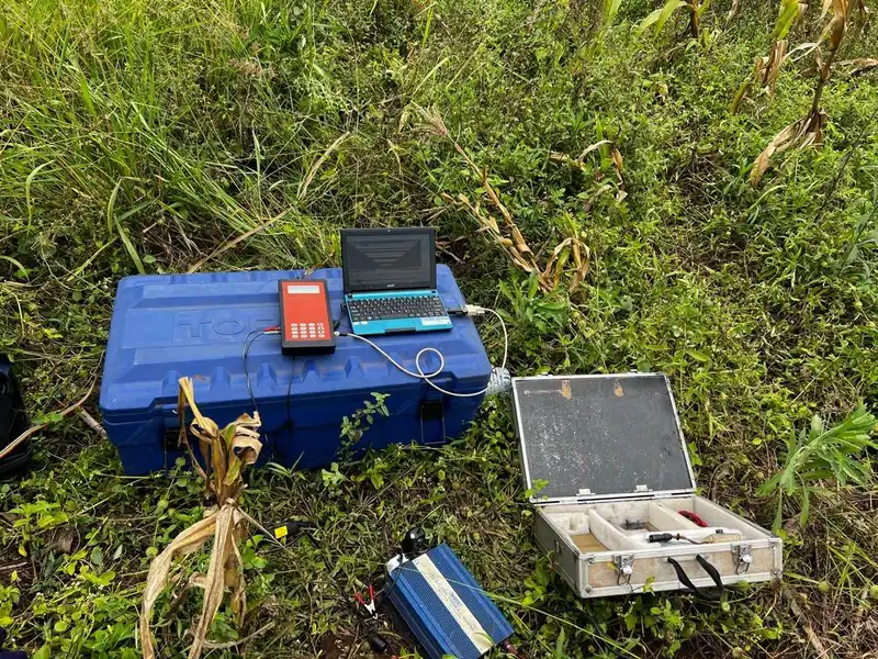
Geophysical Surveys for the Feasibility Study of the Nakiwogo Bridge Construction Project
Electrical Resistivity Tomography (ERT) survey for the feasibility study of the proposed Nakiwogo Bridge construction project in Kampala. Subsurface resistivity imaging to characterise foundation conditions, identify potential weak zones, and inform abutment and pier foundation design for critical transport infrastructure.
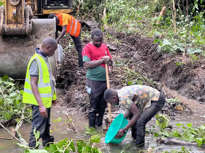
Alluvial Gold Exploration and Reserves Estimation in Ituri
Reconnaissance alluvial gold exploration and preliminary reserves estimation program in the Ituri region, Democratic Republic of Congo. Integrated Gold Detector data analysis, geological mapping, and geochemical sampling supported by satellite SAR remote sensing for regional target delineation and resource potential assessment.
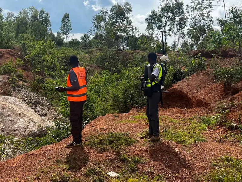
Integrated Geophysical Survey for Pegmatite Exploration in Rweru Sector — Cassiterite, Coltan and Cobalt Assessment
Integrated mineral exploration programme combining onshore ground magnetics, deep Electrical Resistivity Tomography (ERT) and Induced Polarisation (IP) surveys for pegmatite-hosted cassiterite, coltan and cobalt mineralisation in the Rweru Sector. Multi-method approach to delineate subsurface pegmatite bodies and define drill targets.
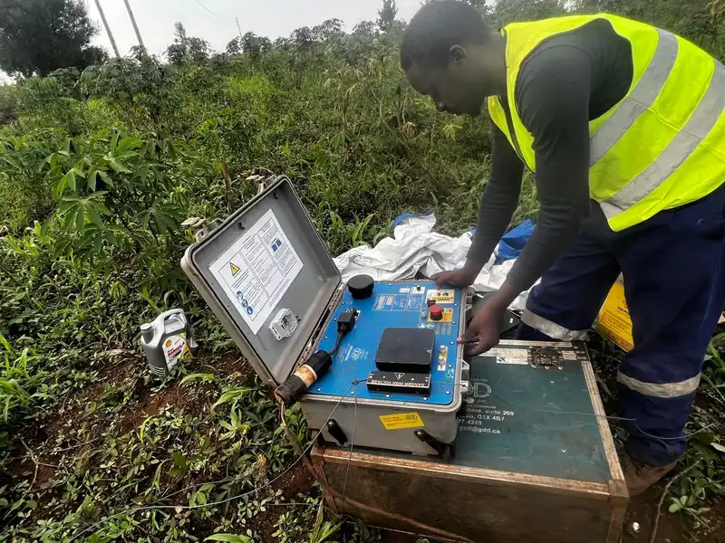
Geophysical Surveys for Pegmatite Mineral Exploration in Gasabo
Deep Electrical Resistivity Tomography (ERT) survey for pegmatite-hosted mineral exploration in the Gasabo area of Rwanda. High-resolution subsurface resistivity imaging to delineate pegmatite body geometry, depth extent, and lateral continuity for drill-hole targeting.
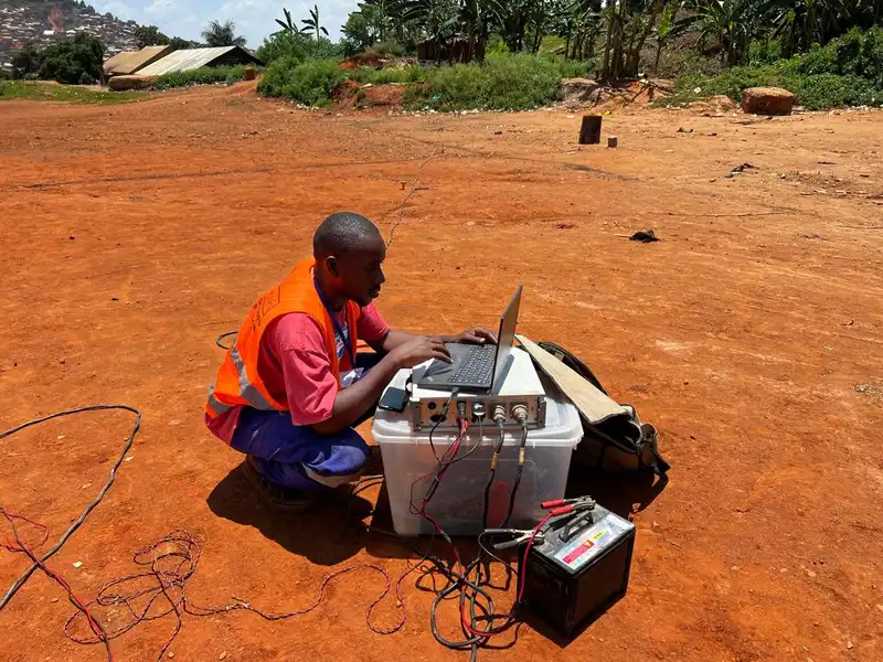
Geophysical Surveys along the Standard Gauge Railway Corridor, Eastern Uganda
Seismic Refraction Tomography and Multichannel Analysis of Surface Waves (MASW) surveys along sections of the Standard Gauge Railway corridor in Eastern Uganda. Subsurface profiling for earthwork design, cut-and-fill optimisation, and foundation characterisation for this nationally strategic transport infrastructure project.
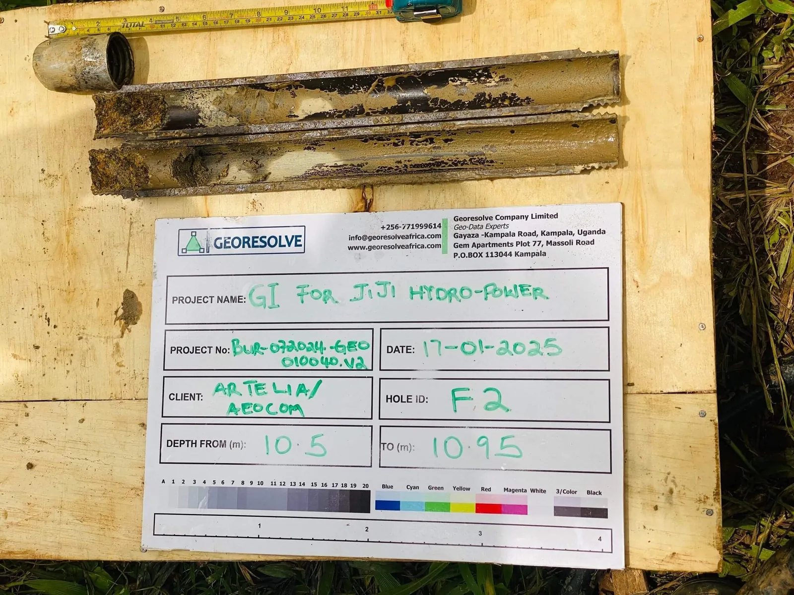
Geotechnical Investigation for PHJIMU Slope Stability Studies
Comprehensive geotechnical investigation including drilling, in-situ tests, and laboratory testing for slope stability assessment. Critical infrastructure safety evaluation project.
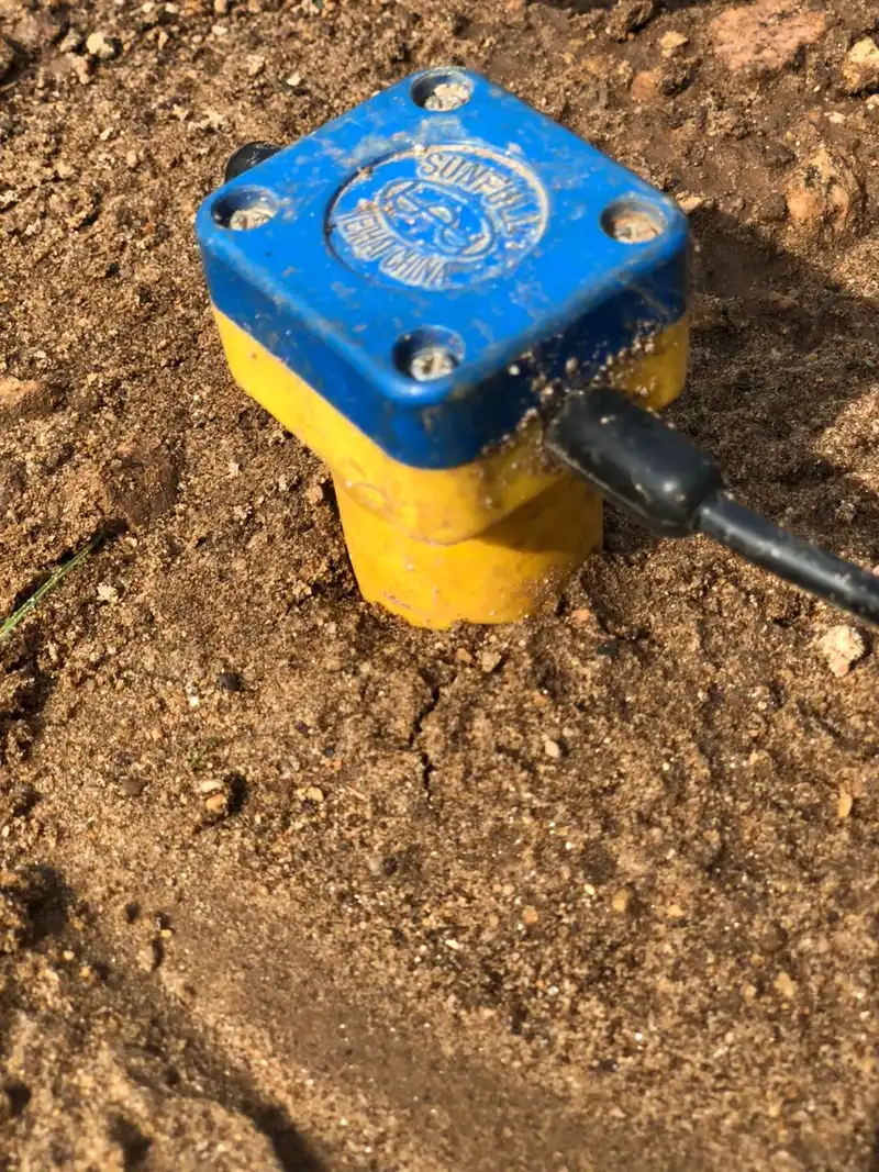
Geophysical Investigation for the Extension of the King Faisal Hospital Extension Project
Multichannel Analysis of Surface Waves (MASW) survey for the proposed extension of King Faisal Hospital in Kigali. Subsurface stiffness profiling and seismic site classification to inform foundation design and structural engineering for critical healthcare infrastructure expansion.
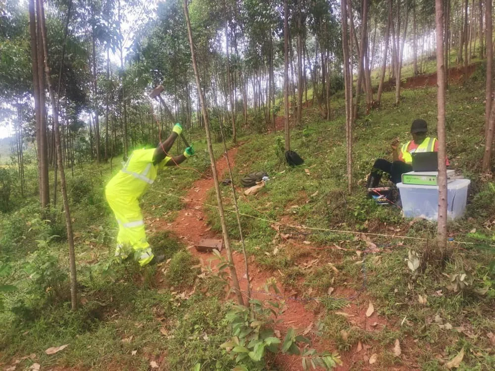
Integrated Geophysical and Geotechnical Investigation for Mwogo, Rukarara, and Kavili Dam Sites
Comprehensive geophysical investigation using Seismic Refraction (1200m) and MASW (1200m) methods for three proposed dam sites. Data correlation with geotechnical parameters for optimal dam design and foundation characterization.
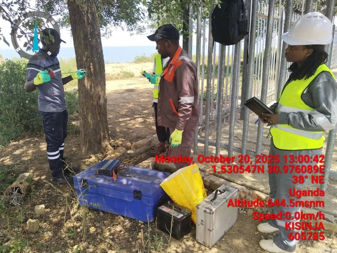
Geotechnical Investigation for Kisinja ATC Tower Geohazard Assessment
Geohazard assessment for the Kisinja ATC Tower using Electrical Resistivity Tomography (ERT), geological mapping, and comprehensive data correlation with drilling data. Critical infrastructure safety evaluation.
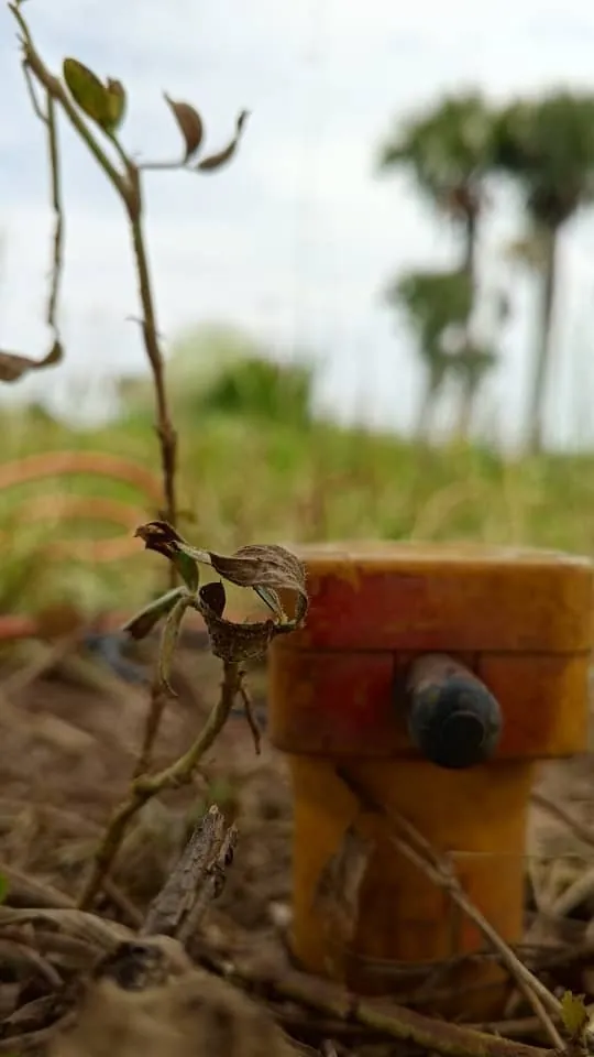
Geotechnical Investigation for Centre for Nuclear Science Technology, Soroti
Specialized geophysical investigation for nuclear facility using 540m of Seismic Refraction for Vp (P-wave velocity) site characterization and correlation with geotechnical parameters. Critical infrastructure project.
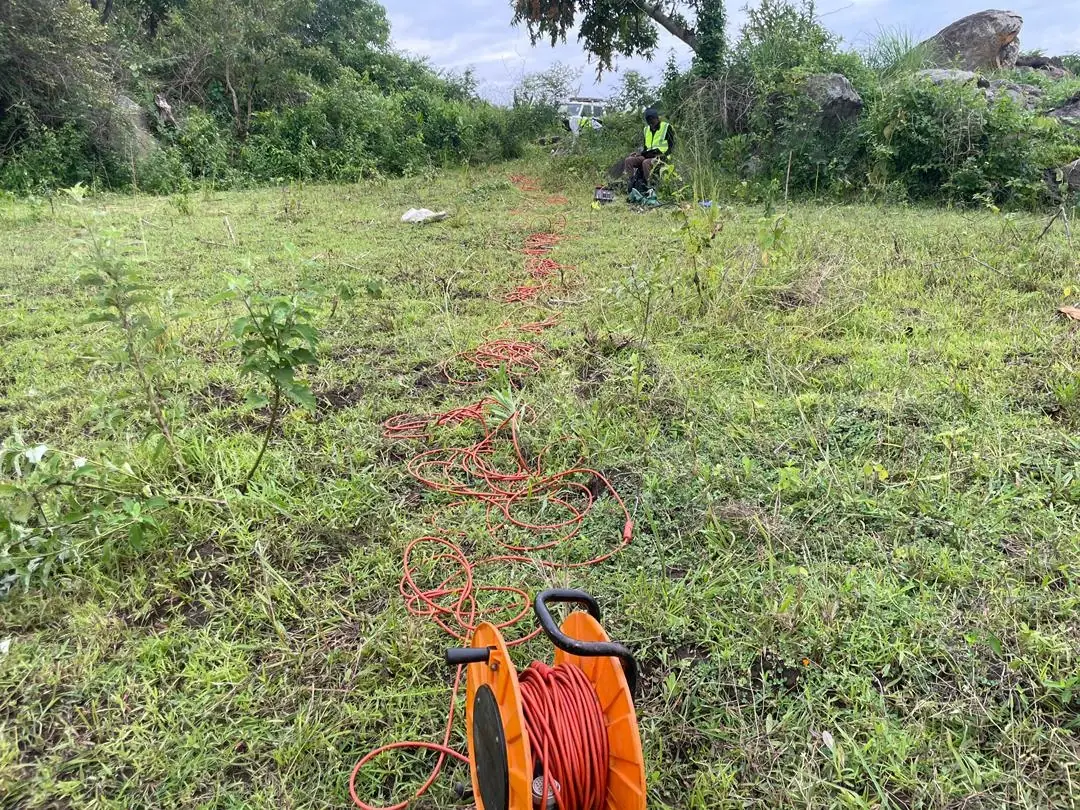
Geological and Geotechnical Investigations for Arua Water Dam
Comprehensive geological mapping of 5.5 km² project area combined with 1.5km of Seismic Refraction surveys for Vp site characterization. Integrated geoscience approach for major water infrastructure project.
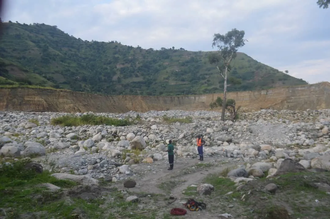
Geophysical Survey for Nyamwamba Flood Management Studies
840m of Seismic Refraction surveys for Vp site characterization supporting flood management infrastructure in Kasese district. Critical environmental and disaster risk reduction project.
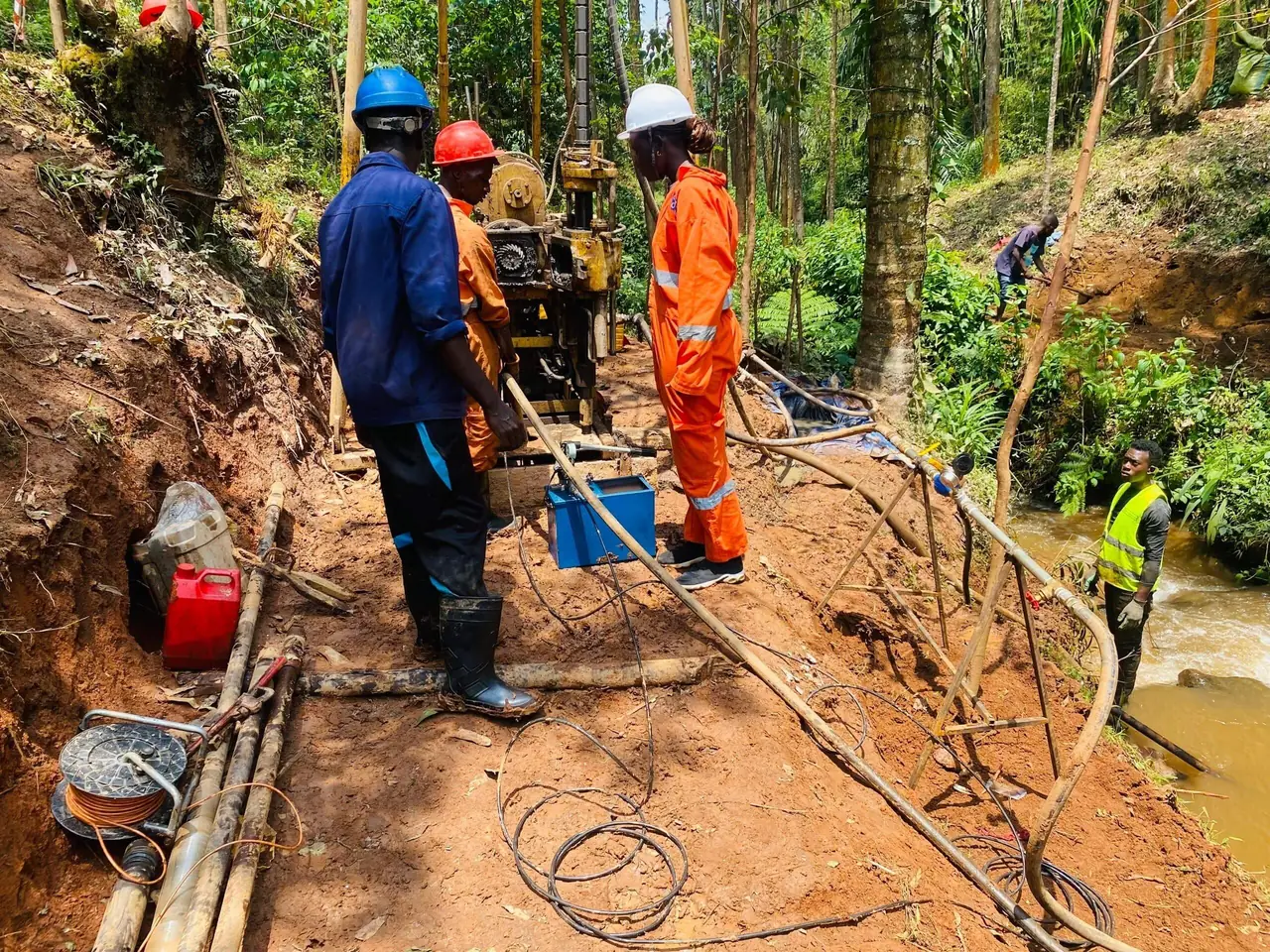
Topographical Surveys and Geotechnical Investigations for 1MW Mutambu Hydro-Solar Hybrid Project
Integrated ground and aerial survey of project area for innovative 1MW Hydro-Solar Hybrid energy project. Comprehensive topographical and geotechnical assessment for renewable energy infrastructure.
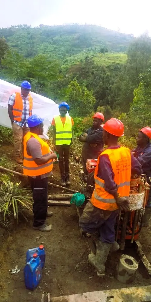
Additional Geotechnical Investigation for Upper Mule037 Project and Construction Material
Comprehensive geotechnical investigation including drilling, in-situ tests, test pits, in-situ vane shear testing, and extensive laboratory testing for construction material assessment.
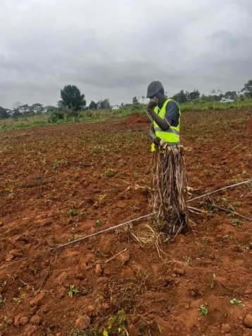
2D Electrical Resistivity Survey for Zirobwe Quarry Site
1.2km of 2D Electrical Resistivity Tomography surveying for proposed quarry site characterization. Subsurface investigation for mining and construction material extraction.
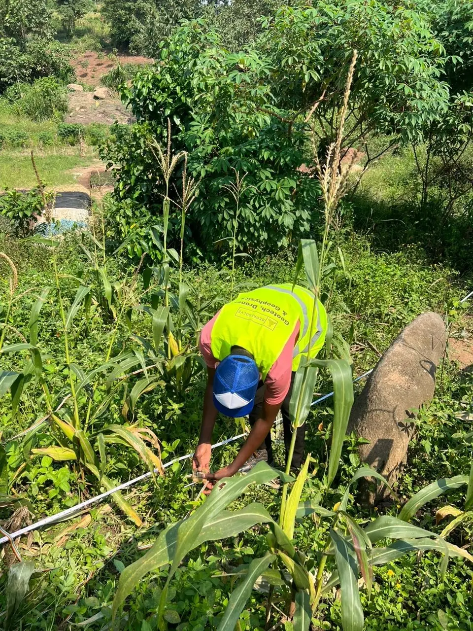
2D Electrical Resistivity Survey for Gayaza Landfill Thermal Power Plant
800m of 2D Electrical Resistivity Tomography surveying for proposed thermal power plant at Gayaza landfill site. Innovative waste-to-energy project assessment.
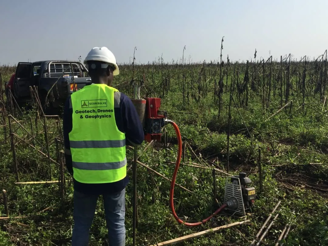
Geological, Geomorphological and Geotechnical Investigation for Mpanga II Hydro Power Project
Comprehensive investigation combining geotechnical drilling, geological mapping, and slope stability analysis for major hydropower development project.
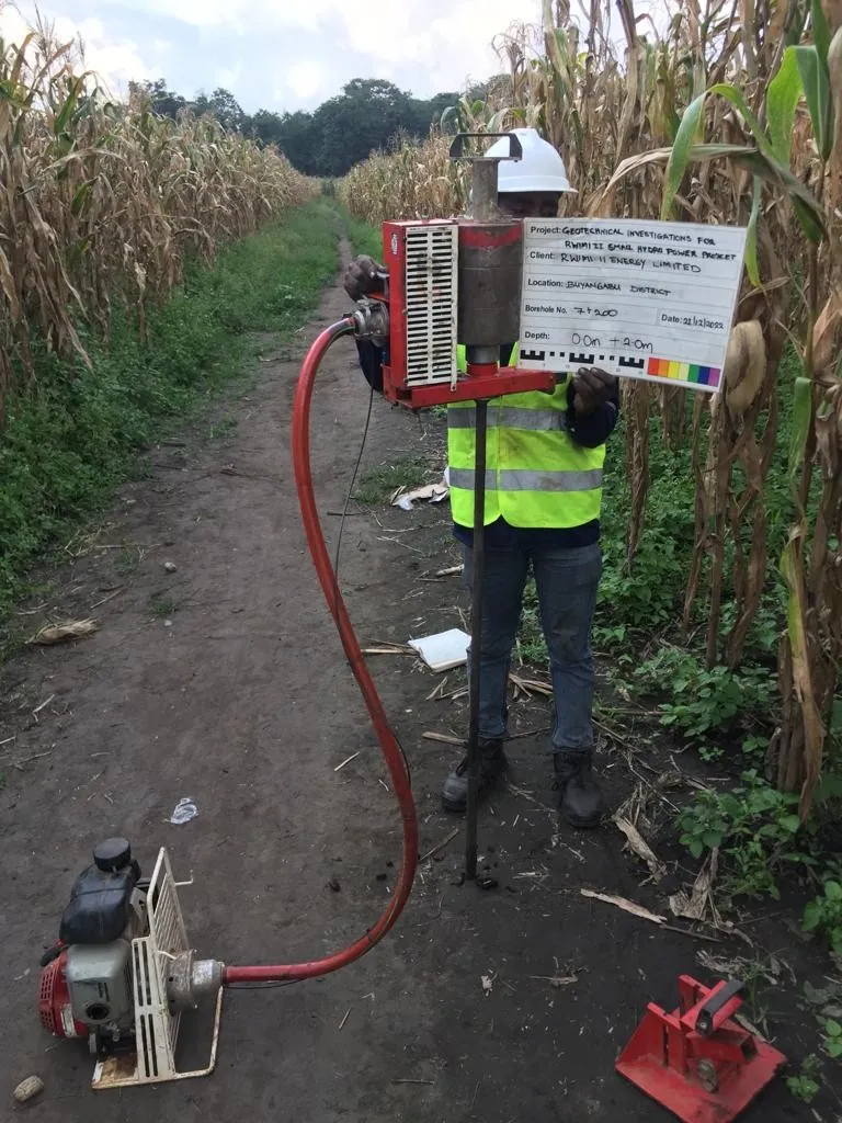
Geological, Geomorphological and Geotechnical Investigation for Rwimi II Hydro Power Project
Integrated geotechnical investigation, geological mapping, and slope stability analysis for renewable energy infrastructure development.
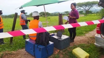
10.3km 2D Electrical Resistivity Survey for Isingiro Water Supply Project
Extensive 10.3km of 2D Resistivity Surveys along water pipeline routes including comprehensive data management, processing, and reporting for major water supply infrastructure.
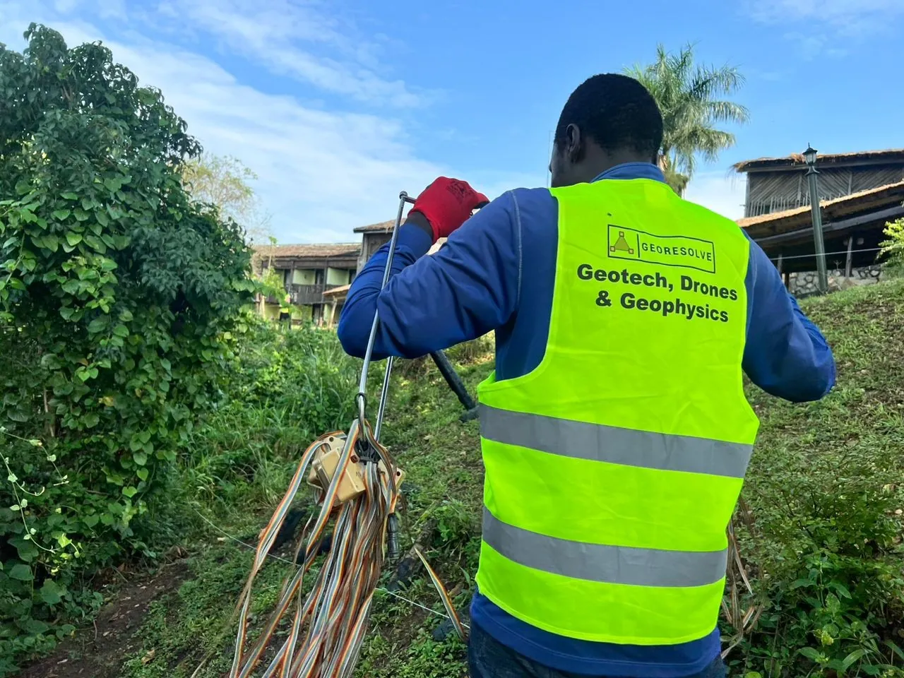
2D Electrical Resistivity Survey for Paraa Safari Lodge Swimming Pool and Ferry Landing Site
720m of 2D ERT surveying for tourism infrastructure development at iconic Paraa Safari Lodge in Murchison Falls National Park.
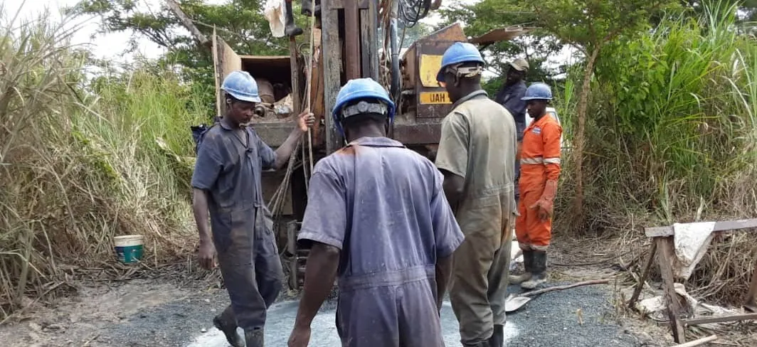
Diamond Core Drilling in Zombo District – Phase II
2000m of diamond core drilling in HQ and NQ sizes for mineral exploration. Advanced drilling techniques for resource characterization.