Burundi's geology, mapped for your project
Burundi sits on the western branch of the East African Rift, with a basement of Archean-Paleoproterozoic
greenstone belts (the Burundian Supergroup) flanked by Kibaran-age granites and intercontinental rift
sediments around Lake Tanganyika and the Imbo and Moso plains. This geology — weathered, fractured and
variable — makes a proper subsurface investigation essential before any dam, road, building or mine works.
GeoResolve combines non-invasive geophysics with targeted drilling to reduce risk and cost. For hydropower
and dam foundations we map the dam axis and abutments with seismic refraction and MASW (shear-wave
velocity, Vs30), locate seepage paths and altered zones with ERT, and confirm bedrock with boreholes and
SPT. For exploration we deploy magnetic, EM and ERT surveys over the greenstone belts.
Selected Burundi projects
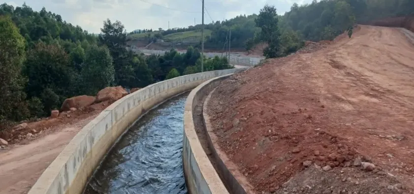
Mutambu hydro-solar hybrid (1 MW)
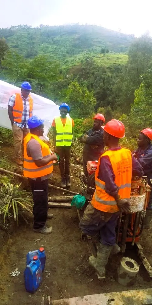
GeoResolve carried out the geophysical and geotechnical site investigation for a 1 MW run-of-river
hydro-solar hybrid scheme at Mutambu, supporting foundation design for the intake, weir and powerhouse.
Seismic and ERT profiling defined bedrock and weathering, with drilling confirming the design levels.
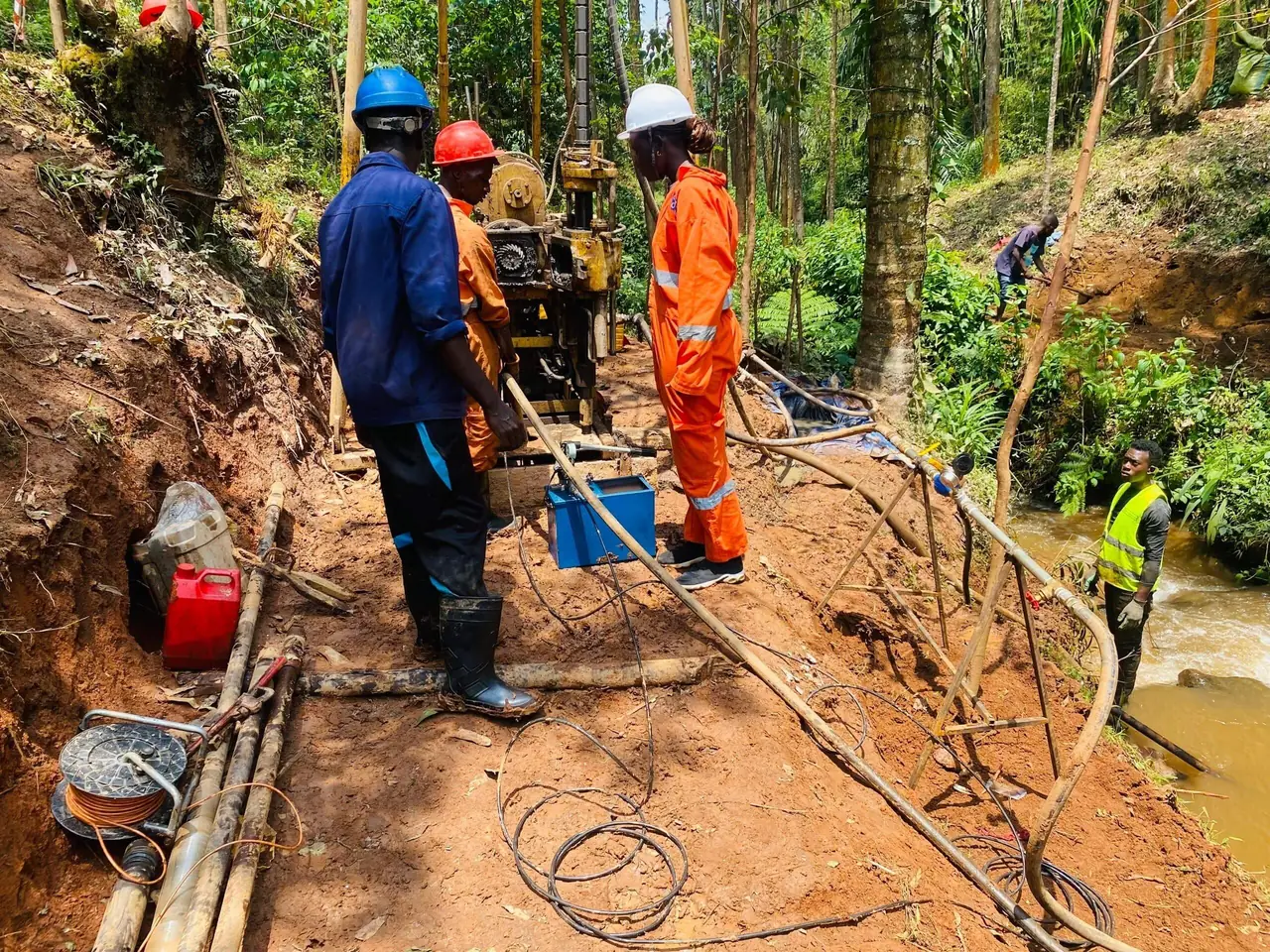
PHJIMU slope & access studies
Geotechnical slope-stability and access investigations supporting infrastructure development, combining
geophysics with borehole logging to assess cut-and-fill conditions.
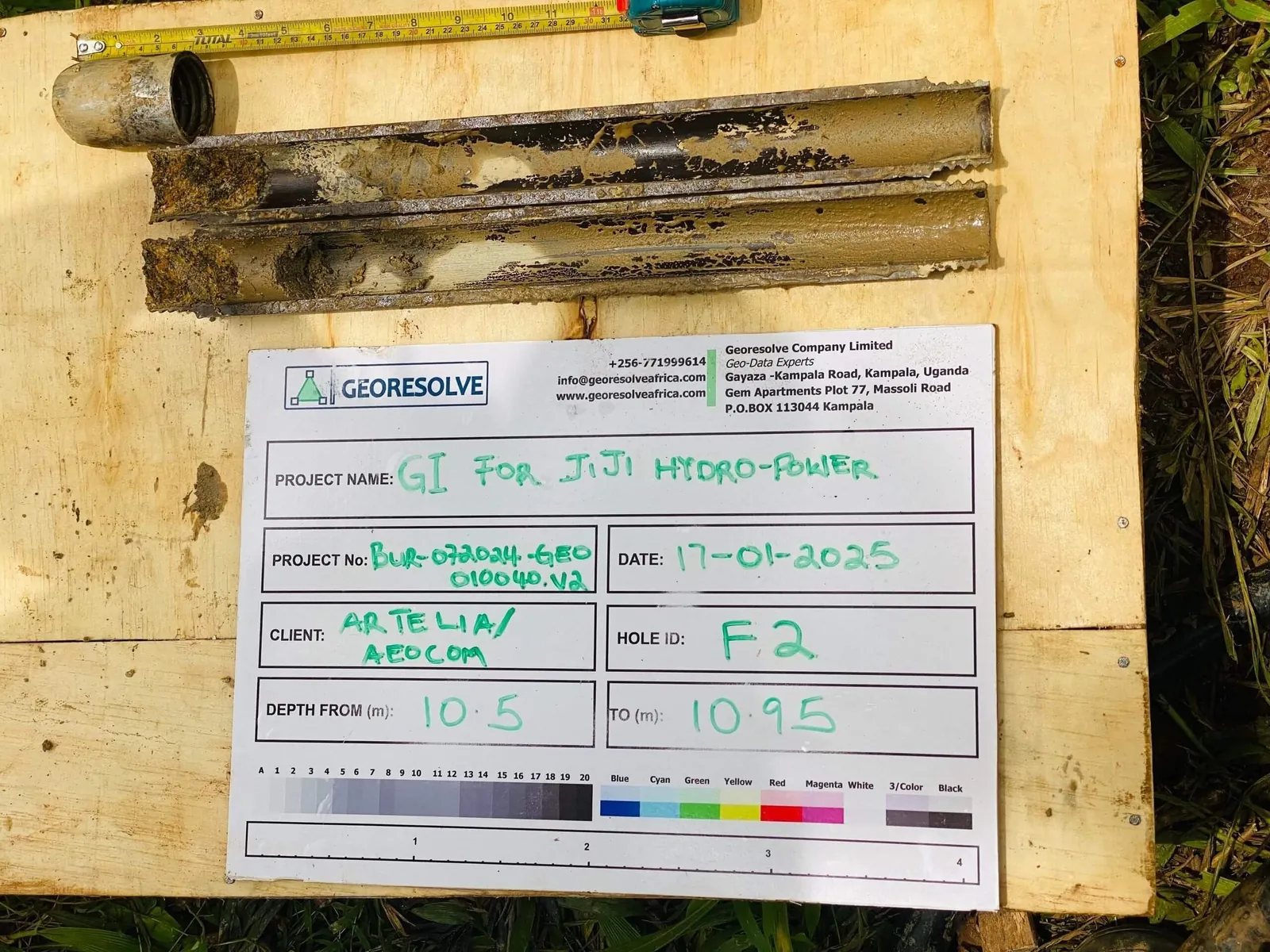
Upper Mule hydropower
Subsurface characterisation for a hydropower scheme, mapping the dam axis and foundation conditions with
seismic and resistivity methods.
Frequently asked questions
What geophysical surveys does GeoResolve offer in Burundi?
We offer seismic refraction and tomography, MASW, electrical resistivity tomography (ERT), magnetic
surveys, ground-penetrating radar (GPR), borehole drilling with SPT, and groundwater (VES/ERT) studies —
typically combined for a robust subsurface model.
How much does a geophysical survey in Burundi cost?
Pricing depends on survey area, method mix, access and depth targets. The quick estimator on our contact
page gives an indicative figure; most site investigations are quoted after a short scope discussion.
Do you work on dam and hydropower projects in Burundi?
Yes. We have delivered dam-axis and foundation investigations for hydropower, including the Mutambu 1 MW
hydro-solar hybrid, using seismic, ERT and drilling to characterise abutments and bedrock.
Can you support mineral exploration in Burundi?
Yes. We run magnetic, EM, IP and ERT surveys, geological mapping and RC/diamond drill management over the
Burundian greenstone belts for gold, tin, tungsten and pegmatite exploration.
Do you provide reports and French-language deliverables?
Yes. Deliverables include interpreted sections, 2D/3D models and a full report. We work in French and
English and can deliver reports in either language for Burundi clients.