The Kivu Rift and Virunga geology
Eastern DRC lies along the western (Albertine) branch of the East African Rift. Around Goma and Bukavu the
ground is built from young alkaline volcanics of the Virunga chain, interbedded rift sediments and
deeply weathered basement — a complex, variable setting where a proper subsurface investigation is
essential before mining, dam or infrastructure works. Further north, Ituri sits on Archean basement and
greenstone belts that host significant gold and pegmatite mineralisation.
GeoResolve combines non-invasive geophysics with targeted drilling to reduce risk and cost. For mining we
deploy magnetic, EM, IP and ERT to locate and prioritise targets; for infrastructure and dams we use
seismic refraction, MASW and ERT to map foundations, slopes and groundwater; and for communities we site
boreholes with VES/ERT.
Selected DRC projects
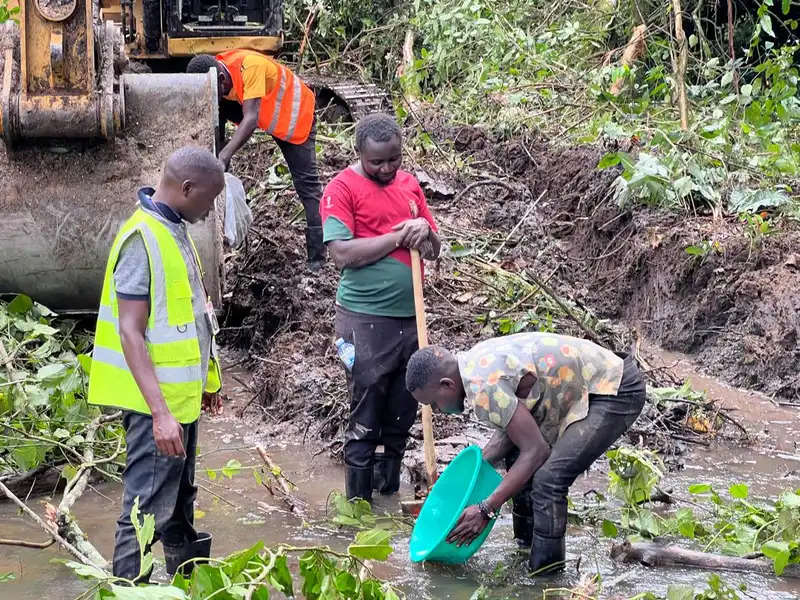
Alluvial gold exploration — Ituri (2026)
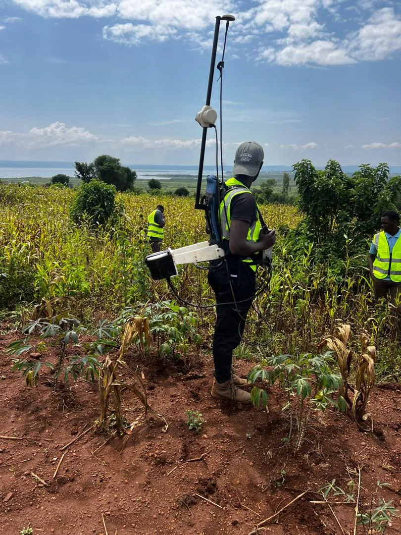
GeoResolve executed alluvial gold exploration in Ituri, combining geophysics with pitting and trenching to
delineate prospective channels and support resource decision-making in a challenging, remote terrain.
Pegmatite & base-metal exploration
Magnetic and resistivity surveys over pegmatite corridors to target tin, tantalum, tungsten and lithium
mineralisation typical of the Kivu–Ituri belt.
Frequently asked questions
What areas of the DRC do you cover?
We focus on eastern DRC — Goma, Bukavu and the Ituri corridor — and can mobilise for mining, hydropower,
infrastructure and groundwater projects across the Kivu Rift region.
What geophysical methods do you use in the DRC?
Seismic refraction and MASW, electrical resistivity tomography (ERT), magnetic and EM/IP surveys, GPR, and
borehole drilling with SPT — combined to build a robust subsurface model for any site.
Do you support gold and mineral exploration in Ituri?
Yes. We have delivered alluvial gold exploration in Ituri using geophysics and pitting/trenching, and we
support pegmatite and base-metal exploration with magnetic, EM and resistivity surveys.
Can you support dam and infrastructure projects near Goma or Bukavu?
Yes. We characterise dam axes and foundations, slopes and access corridors with seismic, ERT and drilling,
and assess volcanic and rift-related ground conditions around the Kivu lakes.
Do you deliver reports in French?
Yes. Our East-African team works in French and English, and we can deliver interpreted sections, 2D/3D
models and full reports in French for DRC clients.