Rwanda's geology and the Kivu Rift
Rwanda sits on the western (Albertine) branch of the East African Rift. Its highlands are built from
Precambrian basement — metasediments, gneisses and granites — cut by intrusive complexes and pegmatite
belts, with rift sediments in the western lowlands around Lake Kivu. The terrain is deeply weathered and
steep, so a proper subsurface investigation is essential before dams, roads, hospitals or mining works.
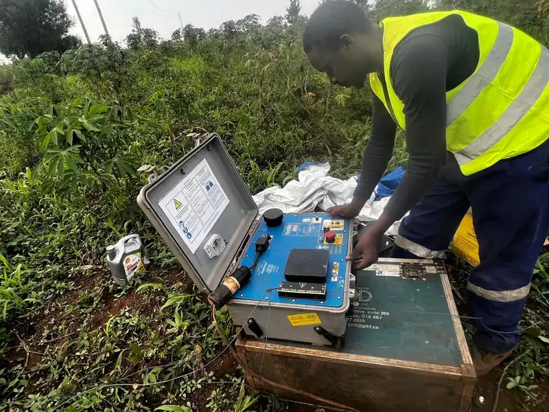
GeoResolve combines non-invasive geophysics with targeted drilling to reduce risk and cost. For dams we map
the dam axis and abutments with seismic refraction and MASW (shear-wave velocity, Vs30), locate seepage
and altered zones with ERT, and confirm bedrock with boreholes and SPT. For buildings we deliver seismic
site classification; for mining we deploy magnetic, EM and ERT over the pegmatite belts.
Selected Rwanda projects
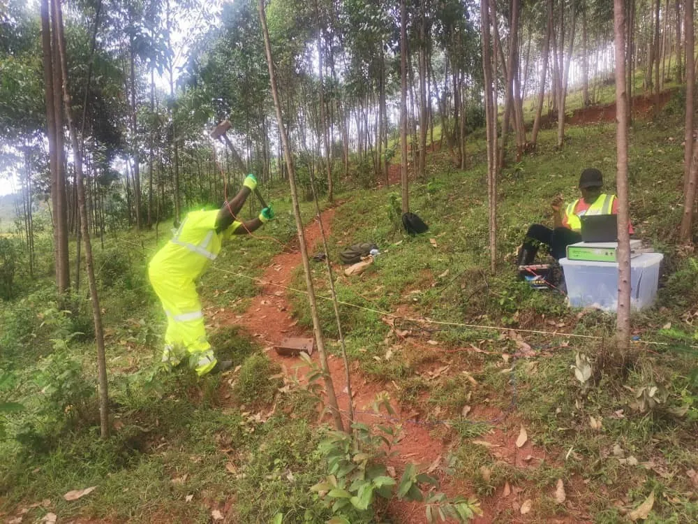
King Faisal Hospital — MASW (2025)
GeoResolve performed MASW shear-wave velocity profiling at the King Faisal Hospital site in Rwanda,
delivering Vs30 seismic site classification and dynamic soil properties to support foundation design.
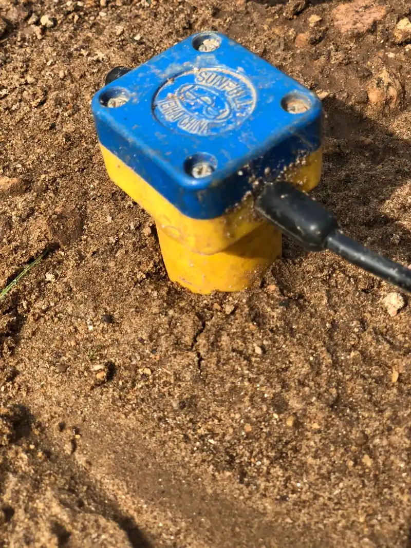
Rweru & Mwogo/Kavili dams
Dam-axis and foundation investigations for Rwandan hydropower — Rweru and Mwogo/Kavili — using seismic,
ERT and drilling to characterise abutments, weathering and bedrock for treatment and grouting design.
Rweru pegmatite ERT (2026)
Electrical resistivity tomography over pegmatite corridors to target tin, tantalum, tungsten and lithium
mineralisation typical of the Rwandan belt.
Frequently asked questions
What geophysical surveys does GeoResolve offer in Rwanda?
We offer seismic refraction and tomography, MASW, electrical resistivity tomography (ERT), magnetic
surveys, ground-penetrating radar (GPR), borehole drilling with SPT, and groundwater (VES/ERT) studies —
typically combined for a robust subsurface model.
Have you worked on dams in Rwanda?
Yes. We have delivered dam-axis and foundation investigations for Rwandan hydropower, including Rweru and
Mwogo/Kavili dams, using seismic, ERT and drilling to characterise abutments and bedrock.
Do you do seismic site classification (MASW) for buildings?
Yes. We performed MASW shear-wave velocity profiling for the King Faisal Hospital site in Rwanda,
delivering Vs30 classification and dynamic soil properties for foundation design.
Can you support mineral exploration in Rwanda?
Yes. We run magnetic, EM, IP and ERT surveys, geological mapping and drill management over the Rwandan
pegmatite belts for tin, tantalum, tungsten and lithium.
Do you provide reports in French and English?
Yes. Our East-African team works in French and English and can deliver interpreted sections, 2D/3D models
and full reports in either language for Rwanda clients.