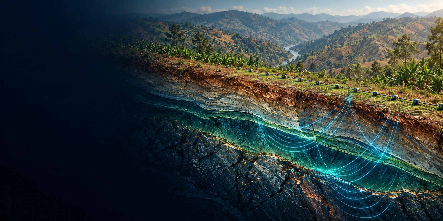
Geophysical Surveys & Geotechnical Investigations in Uganda, Rwanda & Burundi

We map what is under your site — seismic refraction, MASW, ERT, magnetics and drilling — for dams, railways, buildings and mineral exploration. 50+ projects across four countries since 2019.

Free for the geoscience community: borehole logging, coordinate conversion & survey planning — no signup.

Geoscience Services

Six service lines, one field team. From the first geophysical scan to the final foundation report — seismic, ERT, drilling, GIS and lab testing.

🗲

Geophysical Surveys

Advanced seismic, electrical, and magnetic surveys to map subsurface structures and identify geological features with precision.

Learn More →
⛏

Mining & Exploration Services

Comprehensive mineral exploration from regional targeting to resource definition. Ground and drone geophysics, geological mapping, pitting, trenching, and full drill program management across East Africa.

  • Exploration geophysics (magnetics, IP, EM, gravity)
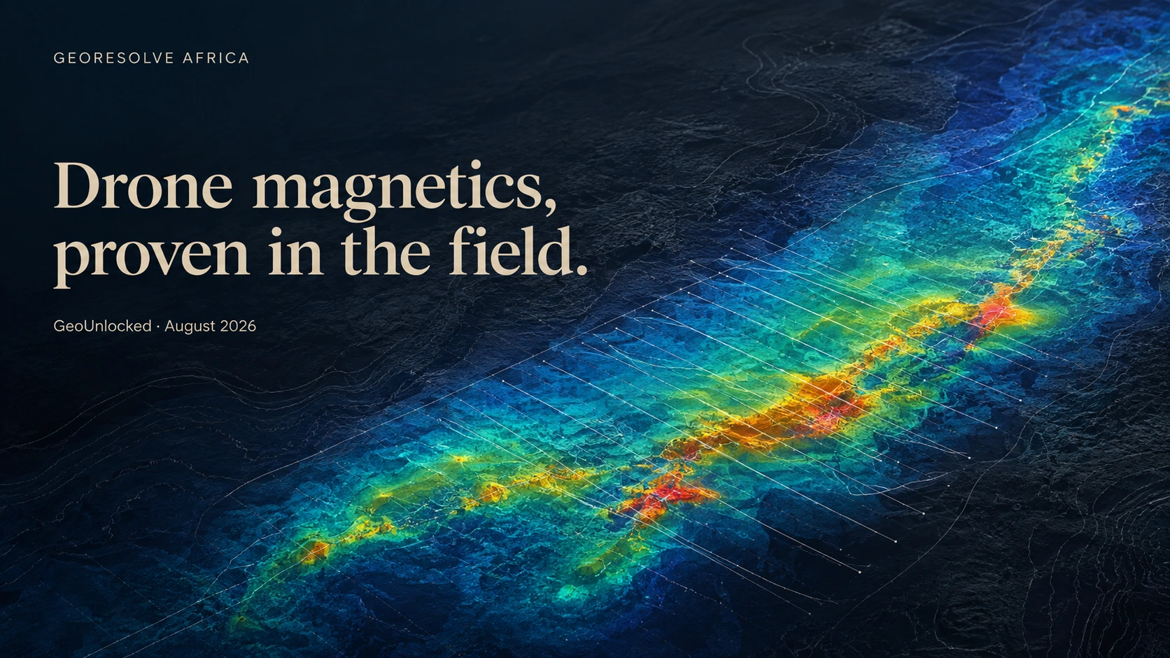
  • Drone magnetic surveys
  • Geological mapping & prospecting
  • RC & diamond core logging (G-Log)
  • Sampling protocols & QAQC
Learn More →
🏗

Geotechnical Engineering

Comprehensive soil and rock mechanics analysis for foundation design, slope stability, and infrastructure development.

  • Soil mechanics testing
  • Foundation analysis and design
  • Slope stability assessment
  • Construction material evaluation
Learn More →
⚡

Drilling Services

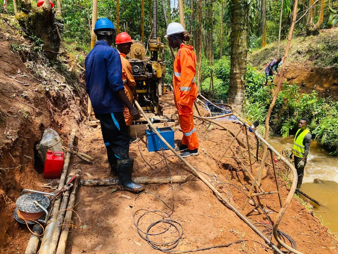
Professional drilling for exploration, geotechnical investigation, and groundwater development with advanced equipment.

  • Mineral exploration drilling
  • Geotechnical core drilling
  • Water well drilling
  • Monitoring well installation
Learn More →
🗺

GIS & Geospatial Services

Modern geospatial solutions combining drone surveys, GIS analysis, topographic and cadastral mapping for comprehensive spatial data.

Learn More →
🔬

Laboratory Testing

Comprehensive soil, rock, and water testing services with accredited laboratory facilities for accurate material characterization.

  • Soil classification & testing
  • Rock mechanics testing
  • Water quality analysis
  • Construction material testing
Learn More →

Free Geoscience Tools

Browse all free tools →

Free, in-browser tools for the geoscience community — borehole logging, coordinate conversion, structural geology, rock mass rating and survey planning. No signup, no install.

📊

G-LogFREE

Log RC chips and diamond core in the field — lithology, structure and samples in one digital striplog.

Borehole logging and geological data management system for efficient exploration and investigation projects.

  • Digital borehole logging
  • Lithology classification
  • Data visualization & export
  • Report generation
Explore Tool →

G-StructuralFREE

Turn joint and bedding measurements into stereonets and rose diagrams, then document rock mass quality with RMR89.

Structural geology workspace with editable sample data, mapped CSV imports and report-ready figure and assessment exports.

  • Equal-area & equal-angle stereonets
  • Axial & directional rose diagrams
  • Bieniawski 1989 RMR calculator
  • SVG / PNG figures & PDF assessments
Explore Tool →

G-LugeonFREE

Turn packer-test readings into a traceable Lugeon assessment.

Correct effective pressure, compare loading and unloading stages, and export a clear water-pressure test report.

  • Staged volume or flow readings
  • Groundwater and friction correction
  • Pressure–flow cycle plot
  • PDF, CSV and workspace exports
Explore Tool →
📋

G-PhysicsPlannerFREE

Lay out seismic lines and ERT arrays on a map, then estimate crew time and cost per line.

Geophysical survey planning tool for optimizing survey design, equipment selection, and cost estimation.

  • Survey design optimization
  • Equipment recommendations
  • Cost estimation
  • Timeline planning
Explore Tool →
🚁

G-FlightPlannerFREE

Draw a boundary, pick a DJI camera and export a lawnmower flight plan as KML, Litchi CSV or GeoJSON.

Drone photogrammetry flight planner. Draw a boundary, pick a DJI camera, set GSD and overlap, and export a lawnmower flight plan as KML, Litchi CSV or GeoJSON.

  • DJI camera presets (Mavic 3E, P4P, P1...)
  • GSD & overlap calculator
  • Crosshatch double grid
  • KML / Litchi / CSV / GeoJSON
Explore Tool →
🔄

G-ResconvtFREE

Convert between WGS84, UTM and Arc 1960 in seconds — single points or 10,000-row CSVs.

Coordinate conversion tool for surveyors and geoscientists. Supports WGS84, UTM, Arc 1960/1950 datums, and batch CSV conversion for East African coordinate systems.

  • WGS84 / UTM conversions
  • Arc 1960 & Arc 1950 datums
  • Batch CSV processing
  • East Africa projections
Explore Tool →

Geoscience from Uganda, for East Africa

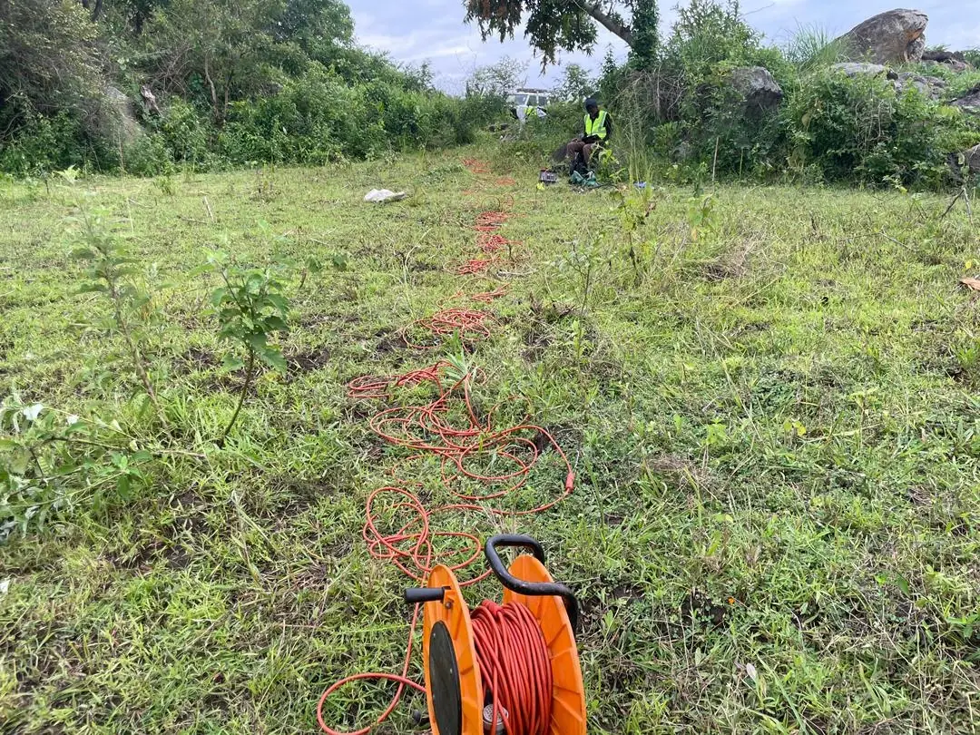
We are a Ugandan geoscience team of geologists, geophysicists and engineers. Since 2019 we have delivered seismic refraction, MASW, ERT, magnetics, drilling and geotechnical testing for dams, railways, buildings and mineral exploration across Uganda, Rwanda, Burundi and the wider East African region.

Every project ends in a written report a designer can build on — stratigraphy, geotechnical parameters, and a clear foundation or exploration recommendation. We work from our base in Kasangati, outside Kampala, and mobilise field crews across the region.

0
Projects Delivered
0
Years Experience
0
Countries
0
Active Clients
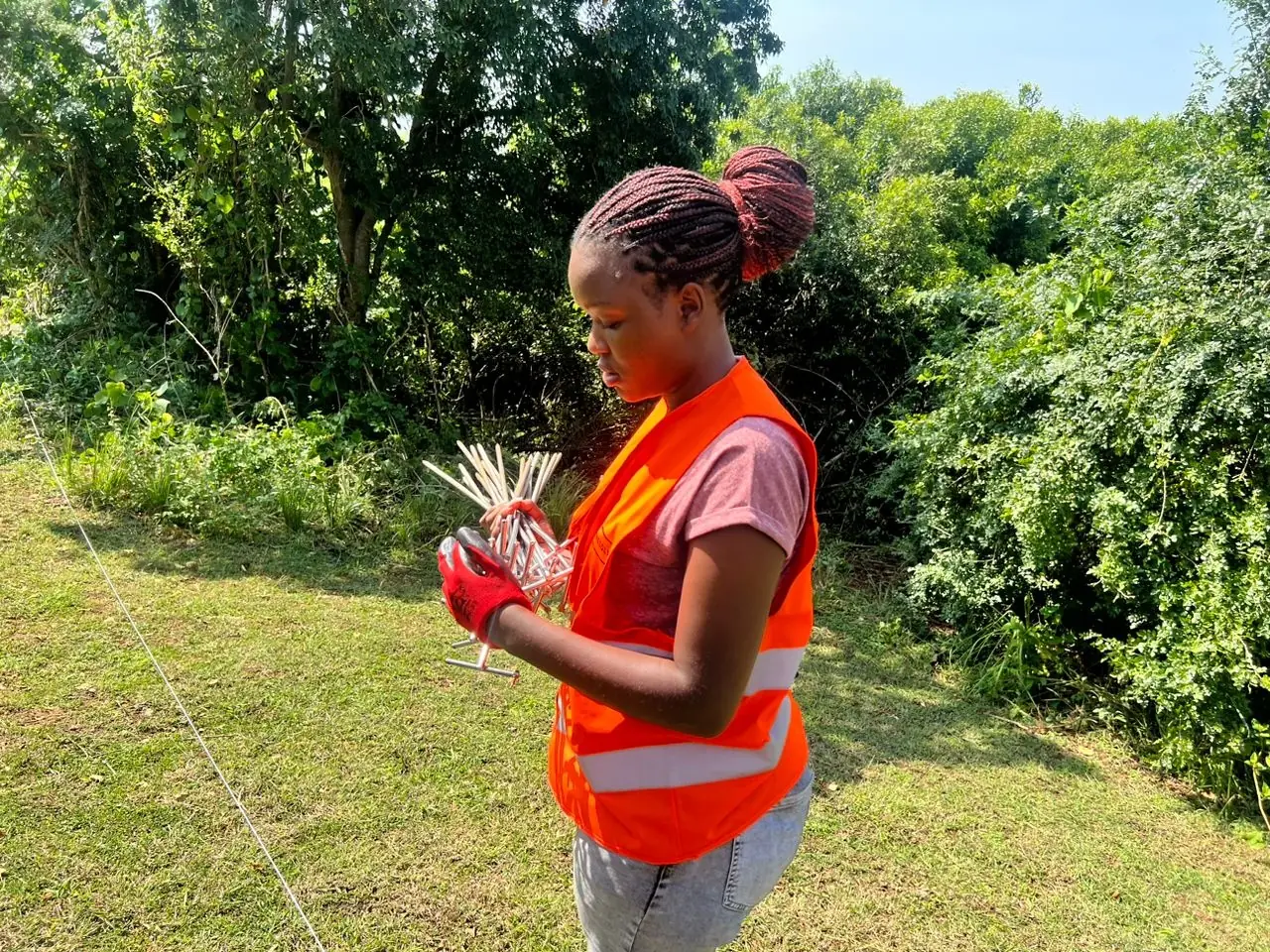
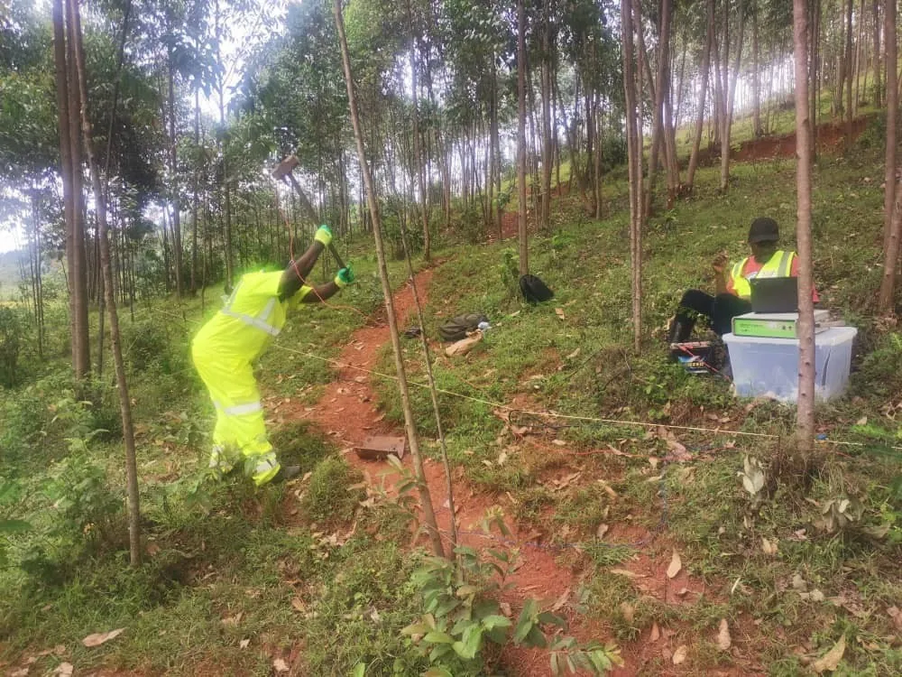
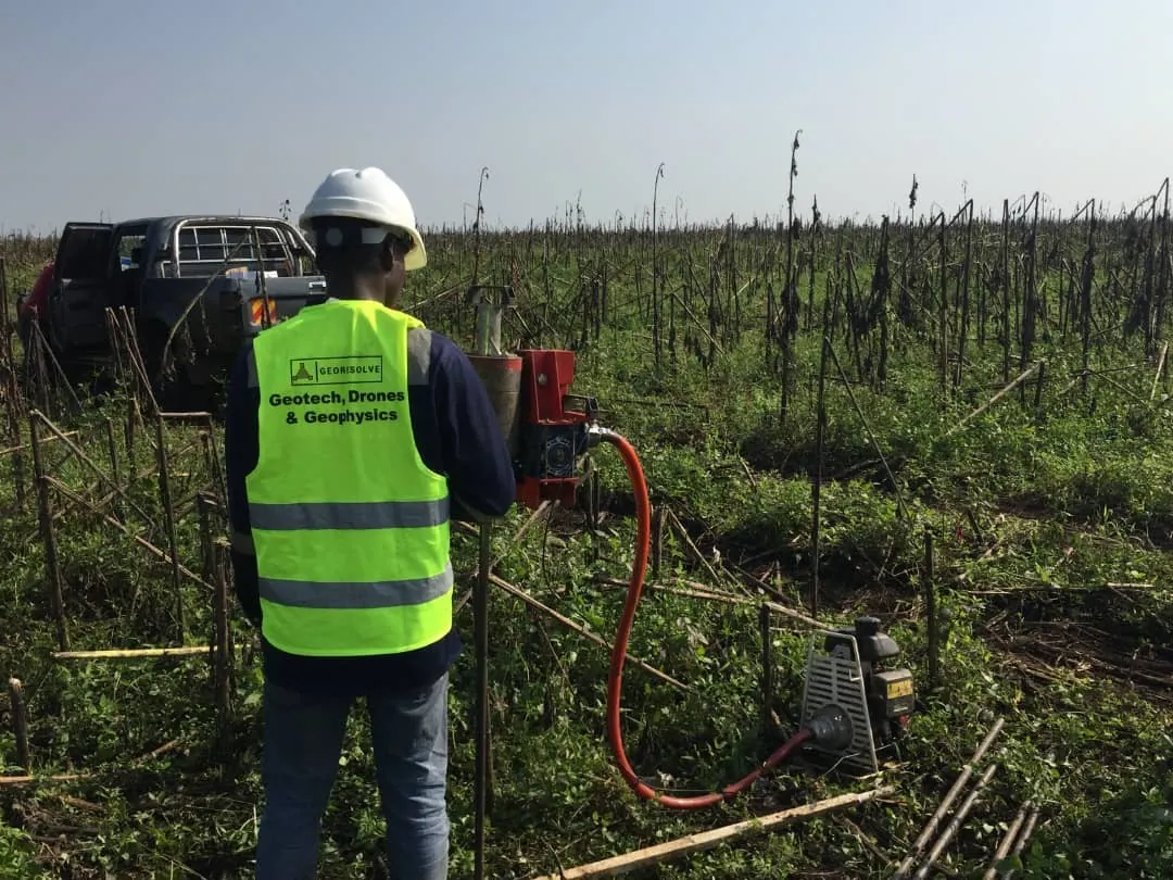
Geological field work in East Africa

Featured Projects

Explore our portfolio of successful geoscience projects across East Africa, showcasing our expertise in diverse geological environments.

Quality, Health, Safety & Environment

Every survey, borehole log and report is backed by field data QC, crew safety and low-impact environmental practices. See how we assure quality and keep field teams safe on every project.

Frequently Asked Questions

Quick answers to common questions about our mineral exploration and geoscience services in East Africa

What are geotechnical investigations?

Geotechnical investigations are comprehensive studies of soil and rock conditions at a construction site. Our services in Uganda include soil investigation, in-situ testing (SPT, CPT), laboratory analysis, and geotechnical consulting for safe foundation design and infrastructure development.

What geophysical methods do you use?

We provide geophysical surveys using seismic refraction, Multichannel Analysis of Surface Waves (MASW), electrical resistivity (ERT, 2D Resistivity, VES), magnetic methods and Ground Penetrating Radar (GPR) — non-intrusive methods that characterize subsurface conditions without drilling.

What areas do you serve?

We provide geotechnical investigations and geophysical surveys across all of Uganda — including Kampala, Entebbe, Jinja, Mbarara, Gulu and Arua — as well as Rwanda, Burundi, DRC and South Sudan.

What is the difference between geophysical and geotechnical surveys?

Geophysical surveys use non-intrusive methods (seismic, electrical, magnetic) to investigate large areas quickly and cost-effectively. Geotechnical investigations involve drilling, sampling and laboratory testing for detailed soil and rock analysis. We often combine both for comprehensive site characterization.

Do you provide mineral exploration services in Uganda?

Yes. GeoResolve provides comprehensive mineral exploration services across Uganda and East Africa, including geophysical surveys, geological mapping, pitting and trenching programs, and RC and diamond core drilling management. We hold an active exploration license in Uganda and have delivered projects for clients throughout the region.

What geophysical methods are used for mineral exploration?

We deploy ground magnetics, induced polarization (IP), electromagnetics (EM), electrical resistivity tomography (ERT), and gravity surveys for mineral exploration across East Africa. For regional-scale targeting, drone magnetic surveys cover large areas efficiently before detailed ground follow-up.

Can you log and manage exploration drill core?

Yes. Our geologists provide professional RC chip and diamond core logging with strict QAQC protocols, using our proprietary G-Log digital borehole logging system. We manage drill programs from collar surveying and core orientation through sampling, dispatch, and database compilation for projects across Uganda, Rwanda, and Burundi.

How does Georesolve assure data quality?

We run a field data quality control workflow on every project. Instruments are calibrated and field-checked before mobilisation, and each day's survey records and borehole logs are reviewed while the crew is still on site. Every borehole log and survey record carries a logged-by and checked-by sign-off, and interpretations are independently peer-reviewed before a report is issued. Our work follows recognised standards including BS 5930, ISO 14688/14689, ASTM and ISRM suggested methods, and raw data is archived so any result can be reconstructed.

What safety procedures do your field crews follow?

Field safety is managed before mobilisation. We complete a site-specific risk assessment and method statement, run daily toolbox talks, and enforce task-based PPE. Remote and cross-border travel follows a journey management plan, and we engage local leaders and landowners before entering survey areas. Every incident and near-miss is reported and reviewed, and anyone can stop an unsafe task without blame.

GeoUnlocked · Field notes from GeoResolve

From the field. Into focus.

Explore our newsletters for project stories, practical geoscience and the methods behind better ground investigations.

Ready to Start Your Geoscience Project?

Contact our expert team today for a consultation and discover how we can provide the geological insights you need for successful project implementation.

Trusted by Leading Organizations

GeoResolve partners with government agencies, consulting firms, and private sector clients across East Africa